Air 3S Wildlife Surveying Tips for High Altitude Success
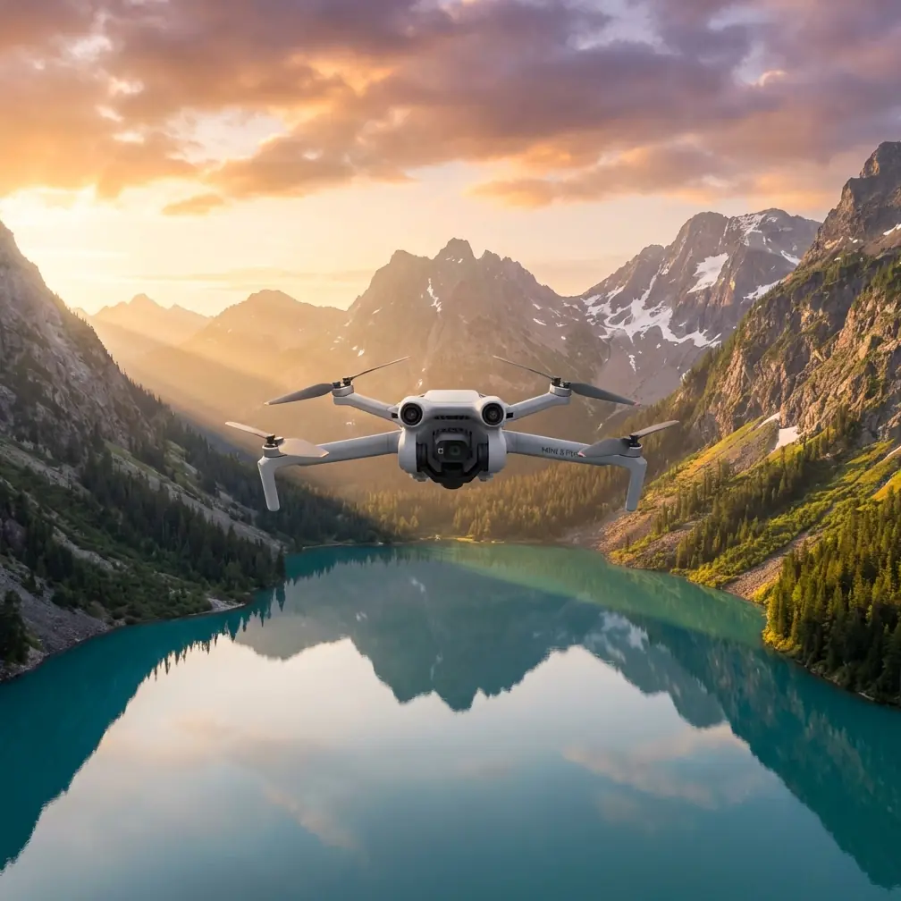
Air 3S Wildlife Surveying Tips for High Altitude Success
META: Master high-altitude wildlife surveying with the Air 3S drone. Expert tips on obstacle avoidance, subject tracking, and D-Log settings for stunning results.
TL;DR
- The Air 3S delivers 46 minutes of flight time and omnidirectional obstacle avoidance, making it ideal for unpredictable wildlife encounters at elevation
- D-Log color profile captures 12.4 stops of dynamic range, preserving detail in harsh alpine lighting conditions
- ActiveTrack 360° maintains lock on moving animals even when terrain features interrupt line of sight
- Third-party ND filter kits prove essential for managing exposure in snow-covered environments above 10,000 feet
Why High-Altitude Wildlife Surveying Demands Specialized Equipment
Surveying wildlife at elevation presents challenges that ground-based observation simply cannot address. Thin air affects both drone performance and animal behavior patterns. The Air 3S compensates for reduced air density with its intelligent flight systems while providing the sensor quality researchers and content creators need.
Traditional wildlife documentation required expensive helicopter rentals or weeks of ground-based stalking. A capable drone changes the equation entirely. You cover more territory, disturb animals less, and capture footage impossible to obtain any other way.
The Air 3S specifically addresses high-altitude operational concerns through its APAS 5.0 obstacle avoidance system and extended battery performance. These aren't luxury features at elevation—they're survival necessities for your equipment.
Understanding Air 3S Performance Above 10,000 Feet
Battery and Flight Time Considerations
At sea level, the Air 3S achieves its rated 46-minute maximum flight time. Expect this to decrease by approximately 15-20% at elevations above 10,000 feet. The thinner air requires propellers to work harder, drawing more power.
Plan your survey missions accordingly:
- Calculate 35-38 minutes of realistic flight time at high altitude
- Set return-to-home triggers at 30% battery rather than the standard 20%
- Carry at least three fully charged batteries per survey session
- Keep spare batteries warm inside your jacket until needed
Cold temperatures compound altitude effects. Batteries lose efficiency rapidly below 50°F. I've watched fully charged packs drop to 60% indicated capacity simply from sitting in a cold pack for an hour.
Pro Tip: Warm your batteries to at least 68°F before flight. The Air 3S battery heating system helps, but starting warm extends your operational window significantly.
Obstacle Avoidance in Complex Terrain
The omnidirectional obstacle avoidance system uses binocular vision sensors covering all directions. In alpine environments, this system earns its value repeatedly.
Rocky outcrops, sudden cliff faces, and unexpected tree lines appear constantly during wildlife surveys. The Air 3S detects obstacles at distances up to 40 meters in good lighting conditions, providing adequate reaction time even at higher speeds.
Configure your obstacle avoidance settings before ascending:
- Set avoidance behavior to Bypass rather than Brake for smoother footage
- Enable APAS 5.0 in all modes, including manual
- Adjust minimum obstacle distance to 3 meters for tighter terrain navigation
- Test sensor response at ground level before committing to remote locations
Snow creates particular challenges. Fresh powder can confuse downward-facing sensors, causing altitude holds to become erratic. Packed snow and ice surfaces generally provide adequate contrast for reliable sensor function.
Mastering Subject Tracking for Wildlife Documentation
ActiveTrack Configuration for Animal Subjects
ActiveTrack technology transforms wildlife surveying from a piloting challenge into a documentation opportunity. The system recognizes and follows subjects automatically, freeing you to manage flight path and composition.
Wildlife subjects differ from human subjects in important ways:
- Animals move unpredictably with sudden direction changes
- Coloration often blends with natural surroundings
- Size varies dramatically between species
- Movement speeds range from stationary to extremely fast
The Air 3S handles these variables through its 1-inch CMOS sensor and improved processing algorithms. Subject recognition works reliably on animals as small as foxes at distances up to 50 meters.
For larger wildlife like elk, deer, or mountain goats, ActiveTrack maintains lock at distances exceeding 100 meters. This distance proves critical—approaching closer risks spooking your subjects and ruining the survey.
Tracking Mode Selection
Choose your tracking mode based on subject behavior:
| Mode | Best For | Limitations |
|---|---|---|
| Trace | Following moving herds | Loses lock during rapid direction changes |
| Parallel | Side-profile documentation | Requires open terrain |
| Spotlight | Stationary subjects with orbit | Subject must remain relatively still |
| Point of Interest | Circling known locations | Not true subject tracking |
Expert Insight: Start with Spotlight mode when first locating wildlife. Once you've confirmed their movement pattern, switch to Trace for following shots. This two-stage approach yields higher success rates than immediately attempting to track moving animals.
Optimizing Camera Settings for Alpine Conditions
D-Log Color Profile Essentials
The Air 3S captures footage in D-Log M color profile, preserving maximum dynamic range for post-processing. High-altitude environments demand this flexibility.
Snow-covered peaks create extreme contrast situations. Bright snow alongside shadowed rock faces can exceed 14 stops of dynamic range—beyond what any camera captures in a single exposure. D-Log compresses this range into a workable file, allowing recovery of both highlights and shadows in editing.
Configure your D-Log settings:
- Set color profile to D-Log M in camera settings
- Reduce sharpening to -1 to preserve detail for post-sharpening
- Enable 10-bit color depth for maximum grading flexibility
- Record in H.265 codec for efficient file sizes without quality loss
Standard color profiles clip highlights aggressively in snow conditions. You'll lose detail in animal fur and feathers that D-Log preserves. The flat appearance of raw D-Log footage transforms dramatically with proper color grading.
Hyperlapse for Environmental Context
Wildlife surveys benefit from environmental context. Hyperlapse mode creates time-compressed footage showing landscape scale and animal movement patterns over extended periods.
The Air 3S Hyperlapse modes include:
- Free: Manual flight path with time compression
- Circle: Automated orbit around a point of interest
- Course Lock: Straight-line movement with consistent heading
- Waypoint: Pre-programmed complex flight paths
For wildlife surveying, Waypoint Hyperlapse proves most valuable. Program a survey route covering known habitat areas, then let the drone execute the path autonomously. Review footage later to identify animal locations and movement corridors.
Set Hyperlapse intervals between 2-5 seconds for wildlife applications. Faster intervals create smoother motion but may miss brief animal appearances. Slower intervals capture more detail but produce choppier final footage.
The Third-Party Accessory That Changed Everything
Standard Air 3S equipment handles most situations adequately. High-altitude snow environments demand additional filtration.
A quality ND filter kit designed specifically for the Air 3S transformed my alpine wildlife work. The PolarPro VND filter system provides variable neutral density from ND2 to ND32 in a single unit.
Without ND filtration, snow conditions force impossible exposure choices. Either shutter speed climbs too high, creating unnatural motion rendering, or aperture closes too far, reducing sharpness and increasing diffraction effects.
The variable ND filter maintains proper 180-degree shutter angle regardless of lighting intensity. Motion blur appears natural. Colors remain accurate. Most importantly, footage matches between shots taken in different lighting conditions.
Additional accessories worth considering:
- Landing pad with weighted edges for snow and uneven terrain
- Signal booster for extended range in mountain valleys
- Tablet hood for screen visibility in bright conditions
- Carrying case with battery warming pockets
QuickShots for Efficient Wildlife B-Roll
QuickShots automate complex camera movements, capturing professional-quality footage with minimal pilot input. For wildlife surveying, these automated sequences provide consistent B-roll without requiring split attention between flying and filming.
Effective QuickShots for wildlife work:
- Dronie: Reveals environmental context while maintaining subject focus
- Helix: Orbital movement with altitude gain shows terrain relationships
- Rocket: Vertical ascent emphasizes landscape scale
- Boomerang: Figure-eight pattern captures multiple angles quickly
Execute QuickShots when animals appear settled. The predictable drone movement patterns seem to disturb wildlife less than erratic manual flying. Animals often continue natural behaviors throughout the automated sequence.
Common Mistakes to Avoid
Flying too close too quickly: Wildlife tolerance for drone presence varies by species and individual. Start observations from maximum tracking distance and approach gradually over multiple flights.
Ignoring wind patterns: Mountain winds shift rapidly and unpredictably. What begins as a gentle breeze can become a 30 mph gust within minutes. Monitor wind speeds continuously and establish abort thresholds before launch.
Neglecting battery temperature: Cold batteries fail without warning. A pack showing 50% capacity can drop to critical levels instantly when internal temperature falls below operating thresholds.
Overlooking return-to-home altitude: Mountain terrain requires careful RTH altitude configuration. Set RTH height above the tallest obstacle between your position and the drone's potential locations.
Skipping pre-flight sensor calibration: Magnetic interference from mineral deposits affects compass accuracy in mountain environments. Calibrate compass and IMU at each new location.
Forgetting spare propellers: Thin air increases propeller stress. Carry at least two complete sets of replacement propellers for extended survey expeditions.
Frequently Asked Questions
Can the Air 3S operate reliably above 15,000 feet elevation?
The Air 3S maintains flight capability at elevations exceeding 19,000 feet according to manufacturer specifications. Practical performance depends on temperature, wind conditions, and battery state. Expect significantly reduced flight times and decreased maneuverability at extreme altitudes. Most wildlife surveying occurs below 14,000 feet, where the Air 3S performs reliably with appropriate preparation.
How close can I fly to wildlife without causing disturbance?
Disturbance distance varies dramatically by species, season, and individual animal history with drones. Nesting birds require minimum distances of 100-150 meters. Large mammals like elk or deer often tolerate approaches to 50 meters when the drone moves slowly and predictably. Begin observations from maximum distance and watch for behavioral changes indicating stress. Any sign of altered behavior means you're too close.
What settings work best for tracking fast-moving birds in flight?
Configure the Air 3S for bird tracking with these settings: ActiveTrack in Trace mode, shutter speed at 1/1000 or faster, continuous autofocus enabled, and obstacle avoidance set to Bypass. The 1-inch sensor provides adequate light gathering for fast shutter speeds in daylight conditions. Track birds against sky backgrounds rather than complex terrain for highest success rates. Expect approximately 60-70% tracking success with fast-moving bird subjects.
Bringing Your Wildlife Survey Vision to Life
High-altitude wildlife surveying with the Air 3S combines technical capability with creative opportunity. The platform's obstacle avoidance, subject tracking, and imaging quality address the specific challenges mountain environments present.
Success requires preparation, patience, and respect for both your equipment's limitations and the animals you're documenting. Master the technical settings before heading into the field. Understand how altitude affects every aspect of drone performance. Invest in quality accessories that extend your operational capabilities.
The footage and data you'll capture justify the preparation investment. Wildlife behaviors previously observable only through luck or extensive ground-based fieldwork become accessible through capable aerial platforms.
Ready for your own Air 3S? Contact our team for expert consultation.