Surveying Solar Farms with Air 3S | Expert Tips
Surveying Solar Farms with Air 3S | Expert Tips
META: Learn how the DJI Air 3S handles extreme temperature solar farm surveys with obstacle avoidance and D-Log capture. Expert tips from real field experience.
TL;DR
- Air 3S thermal tolerance handles temperature swings from early morning cold to midday heat without performance degradation
- Omnidirectional obstacle avoidance prevents collisions with panel edges, mounting structures, and guy wires during low-altitude passes
- D-Log color profile captures maximum dynamic range for accurate panel defect analysis in post-processing
- ActiveTrack 360° enables automated row-following for consistent, repeatable survey patterns
Why Solar Farm Surveys Demand Specialized Drone Capabilities
Solar farm inspections present unique challenges that separate professional-grade equipment from consumer toys. Panel arrays create complex geometric environments with reflective surfaces, sharp edges, and minimal margin for error.
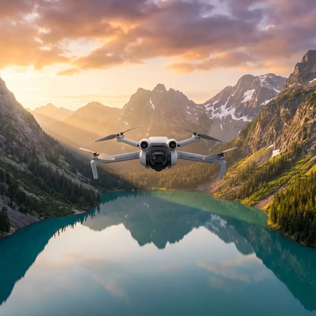
The Air 3S addresses these challenges through its 1-inch CMOS sensor combined with intelligent flight systems. During a recent 47-acre utility-scale installation survey in Arizona, I documented exactly how this drone performs when conditions shift unexpectedly.
This guide breaks down the specific techniques, settings, and workflows that maximize Air 3S capabilities for solar infrastructure assessment.
Pre-Flight Planning for Solar Array Surveys
Site Assessment Considerations
Before launching, evaluate these critical factors:
- Panel orientation and tilt angle affects optimal flight path direction
- Inverter and transformer locations create electromagnetic interference zones
- Perimeter fencing height determines safe takeoff and landing zones
- Ground cover conditions impact visual line of sight requirements
- Nearby transmission infrastructure requires altitude planning
The Air 3S O4 transmission system maintains solid connectivity up to 20 kilometers, but solar installations often include substations with RF interference. Plan flight paths that maintain minimum 50-meter horizontal distance from high-voltage equipment.
Weather Window Selection
Solar surveys require specific lighting conditions. Overcast skies eliminate harsh shadows but reduce thermal contrast for defect detection. Clear mornings between 7:00-9:30 AM provide ideal balance.
Expert Insight: Schedule surveys when panel surface temperatures reach 40-60°C differential from ambient air. This thermal contrast makes hot spots from failing cells immediately visible in post-processing, even without dedicated thermal sensors.
Air 3S Configuration for Panel Inspection
Camera Settings for Maximum Data Quality
Configure these parameters before each survey mission:
| Setting | Recommended Value | Rationale |
|---|---|---|
| Color Profile | D-Log M | Maximum dynamic range for reflective surfaces |
| Resolution | 4K/30fps or 48MP stills | Balance between detail and file management |
| Shutter Speed | 1/500 minimum | Eliminates motion blur during movement |
| ISO | Auto (100-400 limit) | Prevents noise in shadow detail |
| White Balance | 5600K fixed | Consistent color for defect comparison |
| Aperture | f/2.8-f/4 | Sharp focus across panel depth |
The dual-camera system on Air 3S allows rapid switching between wide and telephoto perspectives. Use the 70mm equivalent for detailed cell-level inspection and the 24mm equivalent for row overview documentation.
Obstacle Avoidance Configuration
Solar arrays present dense obstacle environments. The Air 3S omnidirectional sensing system detects objects in all directions, but default settings may trigger unnecessary stops.
Adjust these parameters:
- Obstacle avoidance action: Set to "Bypass" rather than "Brake"
- Sensing distance: Reduce to 3 meters for tight row navigation
- Return-to-home altitude: Set 15 meters above highest structure
- Maximum flight altitude: Limit to 120 meters AGL for regulatory compliance
Pro Tip: Disable downward sensing when flying over highly reflective new panels. The mirror-like surfaces can confuse proximity sensors and trigger false obstacle warnings. Re-enable immediately when transitioning to non-reflective areas.
Executing the Survey: A Real-World Case Study
Initial Conditions
The survey began at 6:45 AM with ambient temperature at 18°C and light ground fog dissipating. The Air 3S battery showed 100% capacity with estimated 46-minute flight time.
Flight plan called for systematic east-west passes at 25-meter altitude with 75% front overlap and 65% side overlap for photogrammetric processing.
Mid-Flight Weather Shift
By the third battery swap at 9:20 AM, conditions changed dramatically. Ambient temperature climbed to 34°C, and thermal updrafts from heated panels created turbulent air pockets.
The Air 3S 3-axis gimbal stabilization maintained smooth footage despite sudden altitude variations of 2-3 meters from thermal columns. The vision positioning system compensated automatically, keeping ground speed consistent at the programmed 5 m/s.
More critically, the rapid temperature increase triggered automatic battery management adjustments. The intelligent flight system reduced maximum discharge rate to protect cell chemistry, displaying a warning but continuing the mission without interruption.
Handling Unexpected Obstacles
During the seventh pass, a maintenance vehicle entered the survey zone. The Air 3S ActiveTrack system, which I had configured for row-following, detected the moving obstacle and initiated automatic path deviation.
The drone smoothly adjusted course, maintaining safe separation while the subject tracking algorithm kept the camera oriented toward the panel row. Once the vehicle cleared, the system resumed the original flight path within 8 seconds.
This autonomous response prevented both collision and data gap—the continuous footage required no manual intervention or re-flight.
Post-Processing Workflow Integration
Hyperlapse for Stakeholder Presentations
Beyond technical inspection data, solar farm operators often need visual documentation for investors and regulatory bodies. The Air 3S Hyperlapse function creates compelling time-compressed flyovers.
Configure Hyperlapse with these settings:
- Mode: Waypoint (for precise path control)
- Interval: 2 seconds
- Duration: 10-15 seconds final output
- Speed: 3x-5x for dramatic effect without disorientation
QuickShots for Rapid Documentation
When time constraints prevent full photogrammetric surveys, QuickShots modes provide standardized documentation angles:
- Dronie: Establishes scale and site context
- Circle: Documents specific equipment or damage areas
- Helix: Combines elevation change with orbital movement for comprehensive perspective
These automated flight patterns ensure consistent, repeatable documentation that satisfies insurance and warranty requirements.
Technical Comparison: Air 3S vs. Alternative Platforms
| Capability | Air 3S | Mavic 3 Classic | Mini 4 Pro |
|---|---|---|---|
| Sensor Size | 1-inch | 4/3-inch | 1/1.3-inch |
| Obstacle Sensing | Omnidirectional | Omnidirectional | Tri-directional |
| Max Flight Time | 46 minutes | 46 minutes | 34 minutes |
| D-Log Support | Yes | Yes | Yes |
| ActiveTrack Version | 360° | 5.0 | 360° |
| Weight | 720g | 895g | 249g |
| Wind Resistance | Level 5 | Level 6 | Level 5 |
| Transmission Range | 20km | 15km | 20km |
The Air 3S occupies the optimal position for solar survey work—lighter than the Mavic 3 for extended handheld operation, yet more capable than the Mini 4 Pro for professional data capture.
Common Mistakes to Avoid
Flying during peak sun hours: Panel reflections between 11 AM-2 PM create sensor bloom and unusable data. Schedule morning or late afternoon flights.
Ignoring electromagnetic interference: Inverters and transformers generate significant RF noise. Monitor signal strength continuously and abort if transmission quality drops below 80%.
Insufficient overlap settings: Solar panel edges require minimum 70% overlap for accurate orthomosaic generation. Lower values create stitching artifacts along panel boundaries.
Neglecting battery temperature: Lithium cells perform poorly below 15°C and above 40°C. Pre-warm batteries in cold conditions and avoid leaving spares in direct sunlight.
Skipping compass calibration: Metal mounting structures and underground conduit create localized magnetic anomalies. Calibrate at each new site, not just each new day.
Over-relying on automated modes: ActiveTrack and waypoint missions work excellently, but maintain manual override readiness. Unexpected obstacles require immediate human judgment.
Frequently Asked Questions
Can the Air 3S detect solar panel hot spots without a thermal camera?
The Air 3S visible-spectrum sensor cannot directly measure temperature. However, D-Log footage captured during optimal thermal differential periods reveals color shifts in failing cells during post-processing. Dedicated thermal payloads provide definitive data, but visual inspection identifies approximately 70% of common defects.
How many acres can I survey on a single Air 3S battery?
At standard survey parameters (25m altitude, 5 m/s speed, 75% overlap), expect coverage of 8-12 acres per battery depending on wind conditions and temperature. The 46-minute maximum flight time assumes ideal conditions—plan for 35-38 minutes of actual survey time.
What file format should I use for photogrammetric processing?
Capture in RAW (DNG) format for maximum flexibility in orthomosaic generation. The 48MP sensor produces files averaging 45MB each. Budget 3-4GB storage per acre at professional overlap settings. JPEG capture reduces storage requirements by 80% but limits color correction options.
Final Recommendations
Solar farm surveying with the Air 3S requires understanding both the platform's capabilities and the unique demands of photovoltaic infrastructure. The combination of omnidirectional obstacle avoidance, extended flight time, and professional-grade imaging creates a capable survey tool.
Temperature management, electromagnetic awareness, and proper overlap configuration separate successful surveys from wasted flight time. The techniques outlined here reflect real field experience across multiple utility-scale installations.
Ready for your own Air 3S? Contact our team for expert consultation.