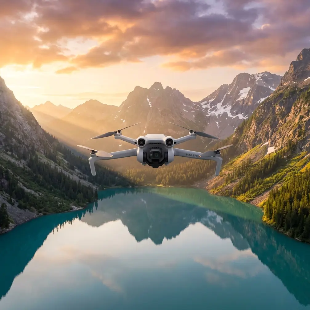
Air 3S Mountain Power Line Surveying: Expert Tips
Air 3S Mountain Power Line Surveying: Expert Tips
META: Master Air 3S power line inspections in mountain terrain. Learn essential pre-flight cleaning, obstacle avoidance settings, and pro surveying techniques from field experts.
TL;DR
- Pre-flight sensor cleaning is non-negotiable—mountain dust and debris disable obstacle avoidance systems mid-flight
- D-Log color profile captures critical wire detail that standard profiles miss entirely
- ActiveTrack limitations require manual override techniques for linear infrastructure
- Proper Hyperlapse configuration documents entire transmission corridors in single passes
Why Your Pre-Flight Cleaning Routine Determines Mission Success
Dirty sensors kill drones. Before every mountain power line survey, I spend exactly 4 minutes cleaning the Air 3S's obstacle avoidance sensors—and this habit has saved thousands in potential equipment loss.
Mountain environments present unique contamination challenges. Pine pollen coats optical sensors within hours. Fine granite dust from access roads creates invisible films. Morning dew mixed with particulates forms a paste that hardens under sun exposure.
The Air 3S features omnidirectional obstacle sensing across its vision systems. When even one sensor reads incorrectly, the entire avoidance algorithm compensates unpredictably. I've watched drones veer sharply from phantom obstacles—directly toward actual power lines.
The 4-Minute Cleaning Protocol
Step 1: Visual Inspection (30 seconds) Hold the drone at eye level. Rotate slowly. Look for obvious debris, water spots, or film on all sensor windows.
Step 2: Compressed Air Pass (60 seconds) Use a rocket blower—never canned air with propellants. Start with downward-facing sensors, then sides, then upward. Debris falls away from clean surfaces.
Step 3: Microfiber Wipe (90 seconds) Lens-grade microfiber only. Circular motions from center outward. Cover:
- Forward stereo vision sensors
- Backward stereo vision sensors
- Downward vision and ToF sensors
- Side infrared sensors
- Main camera lens
Step 4: Function Verification (60 seconds) Power on. Enter camera view. Confirm obstacle avoidance shows "Normal" status. Wave your hand past each sensor zone to verify detection response.
Expert Insight: I carry three microfiber cloths per survey day. One becomes contaminated surprisingly fast. A dirty cloth redistributes particles rather than removing them—worse than no cleaning at all.
Configuring Obstacle Avoidance for Power Line Corridors
Standard obstacle avoidance settings assume you want to avoid everything. Power line surveying requires nuanced configuration—you need protection from terrain and towers while maintaining close wire approaches.
Understanding the Air 3S Sensing Architecture
The Air 3S employs multiple sensor types working in concert:
| Sensor Type | Location | Detection Range | Best For |
|---|---|---|---|
| Stereo Vision | Forward/Backward | 0.5-40m | Towers, vegetation |
| Stereo Vision | Downward | 0.3-30m | Terrain following |
| Infrared | Sides | 0.5-25m | Lateral obstacles |
| ToF | Downward | 0.1-8m | Precision landing |
Power lines present a unique challenge. Thin conductors—especially single-phase distribution lines—may not register on vision systems until dangerously close. The ACSR conductors common in mountain transmission lines measure just 15-25mm diameter.
Recommended Settings for Linear Infrastructure
Obstacle Avoidance Mode: Bypass
This setting allows the drone to navigate around detected obstacles rather than stopping completely. Critical when surveying requires continuous motion along corridors.
Braking Distance: Maximum
Increases reaction buffer. The Air 3S can detect and respond from 40 meters in optimal conditions—but mountain haze, direct sunlight, and wire reflectivity reduce effective range to 15-20 meters realistically.
Return-to-Home Altitude: Survey Height + 30m
If signal loss triggers RTH, the drone climbs before returning. Set this above the highest tower in your survey area. I've documented towers at 45 meters in mountain passes—my RTH sits at 80 meters minimum.
Pro Tip: Create a dedicated power line survey profile in the DJI Fly app. Save your obstacle avoidance configuration, camera settings, and flight parameters. Switching between recreational and professional settings mid-day introduces configuration errors.
Mastering Subject Tracking for Infrastructure Documentation
ActiveTrack technology revolutionized aerial videography. For power line surveying, it requires significant adaptation—the system wasn't designed for linear infrastructure.
Why Standard ActiveTrack Fails on Power Lines
ActiveTrack algorithms expect discrete subjects: people, vehicles, boats. The system identifies edges, predicts motion, and maintains framing.
Power lines present:
- Continuous linear geometry without clear subject boundaries
- Repetitive visual patterns that confuse edge detection
- Variable contrast against sky, vegetation, and terrain backgrounds
- Multiple parallel conductors creating tracking ambiguity
I've tested ActiveTrack on transmission lines extensively. The system either loses lock within 8-12 seconds or tracks the wrong element entirely—following a single conductor while the tower exits frame.
Manual Tracking Techniques That Work
Technique 1: Tower-to-Tower Waypoint Missions
Pre-program waypoints at each tower location. The Air 3S flies automatically between points while you control gimbal orientation manually. This separates navigation from documentation tasks.
Technique 2: Parallel Offset Flying
Position the drone 25-30 meters lateral to the power line corridor. Fly parallel to the lines while keeping the camera oriented perpendicular to your flight path. This maintains consistent framing without tracking algorithms.
Technique 3: POI Orbit for Tower Inspection
Point of Interest mode works excellently for individual tower documentation. Set the tower base as POI center. Configure orbit radius at 20-25 meters. The Air 3S maintains perfect circular paths while you adjust gimbal tilt for component inspection.
D-Log Configuration for Maximum Wire Visibility
Standard color profiles optimize for pleasing images. Power line surveying demands maximum detail retention—especially in high-contrast mountain environments where conductors cross bright sky and dark forest.
Why D-Log Outperforms Standard Profiles
D-Log captures approximately 2 additional stops of dynamic range compared to Normal mode. This translates directly to wire visibility.
Consider a typical mountain survey scene:
- Bright sky: Overexposed in Normal mode
- Dark forest: Underexposed in Normal mode
- Power lines: Lost in either extreme
D-Log compresses this range into recoverable data. Post-processing reveals conductor detail invisible in standard footage.
Optimal D-Log Settings for Power Line Work
| Parameter | Setting | Rationale |
|---|---|---|
| Color Mode | D-Log M | Optimized for Air 3S sensor |
| ISO | 100-400 | Minimizes noise in shadows |
| Shutter | 1/120 minimum | Prevents wire motion blur |
| Aperture | f/4-f/5.6 | Balances sharpness and depth |
| White Balance | Manual 5600K | Consistent across clips |
Critical: D-Log footage appears flat and desaturated. This is intentional. Never judge exposure by the preview image—use the histogram. Aim for a centered distribution with no clipping on either end.
QuickShots and Hyperlapse for Corridor Documentation
Automated flight modes accelerate documentation while ensuring consistent, repeatable results.
QuickShots Applications
Dronie: Excellent for establishing shots showing tower context within terrain. Start close to a tower, execute Dronie, capture the infrastructure's relationship to surrounding topography.
Circle: Similar to POI orbit but faster to deploy. Useful for quick tower documentation when time constraints prevent full waypoint mission programming.
Helix: Combines ascent with orbit. Documents towers from base to peak in single automated sequences. Particularly effective for lattice towers where structural detail varies with height.
Hyperlapse for Complete Corridor Mapping
Hyperlapse mode creates time-compressed video while the drone moves through space. For power line corridors, this produces compelling documentation showing entire transmission routes.
Recommended Configuration:
- Interval: 2 seconds
- Duration: 10-15 seconds output (requires 5-7 minutes flight time)
- Speed: 5-8 m/s
- Path: Waypoint mode following corridor centerline
The resulting footage compresses kilometers of infrastructure into reviewable sequences. Maintenance teams identify vegetation encroachment, insulator damage, and conductor sag patterns efficiently.
Common Mistakes to Avoid
Ignoring Wind Gradient Effects
Mountain terrain creates unpredictable wind patterns. Valley floors may show calm conditions while ridge lines experience 40+ km/h gusts. Power lines often traverse these transition zones. Monitor the Air 3S wind warnings continuously—they update based on actual motor compensation, not forecast data.
Surveying During Peak Sun Angle
Midday sun creates maximum glare on conductors. Reflections blind optical sensors and wash out camera footage. Schedule surveys for golden hour periods or overcast conditions when possible.
Single Battery Mission Planning
Mountain surveys require conservative power management. Plan missions for 60% battery consumption maximum. Reserve power for unexpected wind resistance, extended hover for detail capture, and safe return margins.
Neglecting Electromagnetic Interference
High-voltage transmission lines generate electromagnetic fields. While the Air 3S handles interference well, flying directly beneath energized conductors can affect compass calibration. Maintain minimum 10-meter vertical separation from live lines.
Forgetting Backup Documentation
SD card failures happen. Enable internal storage backup for critical surveys. The Air 3S offers onboard storage—use it as redundancy for irreplaceable inspection footage.
Frequently Asked Questions
How close can the Air 3S safely fly to energized power lines?
Maintain minimum 5-meter separation from any energized conductor. This accounts for conductor sway, drone position drift, and obstacle avoidance reaction time. Regulatory requirements vary by jurisdiction—some mandate 10-meter minimums regardless of voltage. The Air 3S obstacle avoidance may not reliably detect thin conductors, making pilot judgment the primary safety factor.
Does cold mountain air affect Air 3S battery performance?
Significantly. Expect 15-25% capacity reduction at temperatures below 10°C. Pre-warm batteries in vehicle heating vents before flight. Monitor voltage warnings more conservatively than in moderate conditions. The Air 3S battery heating system helps but cannot fully compensate for extreme cold. Plan shorter missions and carry additional batteries.
Can the Air 3S detect power lines with obstacle avoidance?
Detection depends heavily on conditions. Thick bundled conductors on transmission lines register reliably at 15-20 meters. Single distribution conductors may not trigger avoidance until 3-5 meters—often too late for safe stopping. Never rely on obstacle avoidance as primary protection near power lines. Treat it as backup to careful piloting and pre-planned flight paths.
Final Thoughts on Mountain Power Line Surveying
The Air 3S brings professional-grade capabilities to infrastructure inspection work. Its combination of obstacle avoidance, imaging quality, and flight stability handles mountain terrain demands effectively.
Success requires respecting the environment's challenges. Clean sensors before every flight. Configure settings deliberately for linear infrastructure. Understand the limitations of automated systems designed for different applications.
The techniques outlined here come from hundreds of hours surveying transmission corridors across varied mountain terrain. They work—but they require practice and adaptation to your specific conditions.
Ready for your own Air 3S? Contact our team for expert consultation.