Expert Urban Site Surveying with the DJI Air 3S
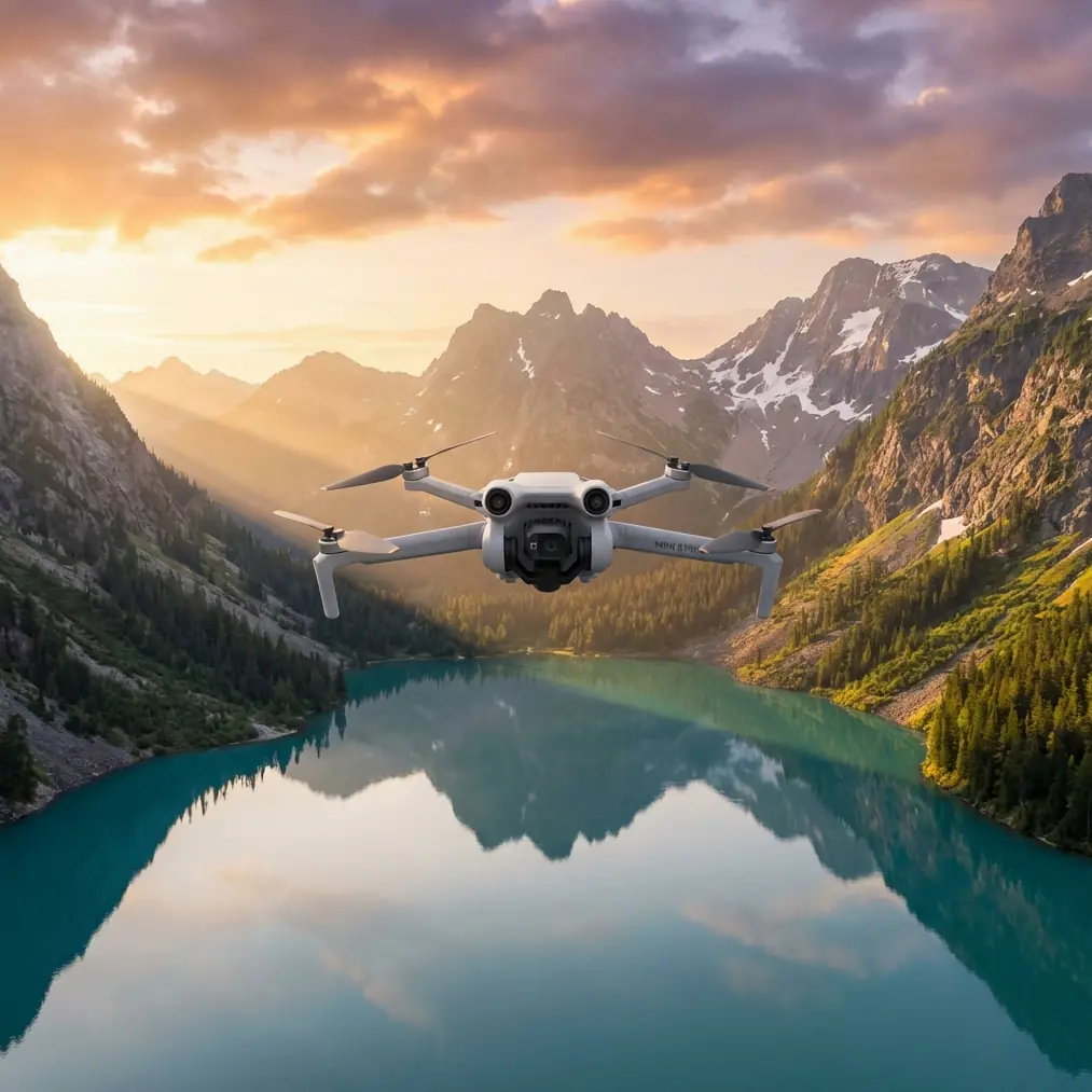
Expert Urban Site Surveying with the DJI Air 3S
META: Master urban construction site surveying with the DJI Air 3S. Learn expert techniques, optimal settings, and pro tips for accurate aerial data capture.
TL;DR
- The Air 3S's dual-camera system captures both wide-angle context and telephoto detail essential for comprehensive site documentation
- Optimal flight altitude of 80-120 meters balances regulatory compliance with data resolution for urban construction mapping
- Omnidirectional obstacle avoidance prevents costly crashes near cranes, scaffolding, and building structures
- D-Log color profile preserves 13+ stops of dynamic range for accurate shadow and highlight detail in high-contrast urban environments
The Urban Surveying Challenge
Construction site documentation in urban environments presents unique obstacles that ground-based methods simply cannot overcome. Tight lot lines, active work zones, and constantly changing conditions demand aerial perspectives that traditional surveying equipment fails to deliver efficiently.
The DJI Air 3S addresses these challenges directly. With its compact form factor, advanced sensor technology, and intelligent flight systems, this drone transforms how photographers and surveyors capture critical site data.
I've spent the past eighteen months documenting construction projects across major metropolitan areas. The Air 3S has become my primary tool for delivering accurate, comprehensive visual records that clients rely on for progress tracking, safety compliance, and stakeholder communication.
Why the Air 3S Excels at Urban Construction Documentation
Dual-Camera Versatility
The Air 3S features a 1-inch CMOS wide-angle sensor paired with a 1/1.3-inch telephoto sensor offering 3x optical zoom. This combination proves invaluable on construction sites.
Wide-angle captures provide:
- Complete site context in single frames
- Accurate spatial relationships between structures
- Efficient orthomosaic base imagery
Telephoto capabilities deliver:
- Detailed inspection of elevated work areas
- Close examination of structural connections
- Documentation of specific components without flying dangerously close
Expert Insight: When surveying multi-story construction, I capture wide establishing shots at 100 meters AGL, then switch to telephoto for detailed passes at 60 meters. This workflow produces both overview documentation and inspection-quality close-ups without repositioning the aircraft.
Intelligent Obstacle Avoidance for Complex Environments
Urban construction sites bristle with hazards. Tower cranes swing unpredictably. Scaffolding creates invisible collision zones. Temporary structures appear between site visits.
The Air 3S incorporates omnidirectional obstacle sensing using multiple vision sensors and infrared systems. This technology detects objects in all directions, automatically adjusting flight paths to prevent collisions.
During a recent high-rise documentation project, the obstacle avoidance system prevented three potential collisions with crane cables that weren't visible on my monitor. Each save protected equipment worth thousands and prevented dangerous debris from falling onto active work areas below.
The system works in three modes:
- Bypass: Aircraft automatically routes around detected obstacles
- Brake: Immediate stop when obstacles appear in flight path
- Off: Manual control for experienced pilots in controlled environments
Subject Tracking for Dynamic Site Documentation
ActiveTrack technology enables the Air 3S to follow moving subjects while maintaining stable framing. On construction sites, this capability serves multiple purposes.
Track equipment movement to document:
- Crane operation patterns
- Material delivery logistics
- Worker flow through site areas
The tracking algorithm handles speeds up to 19 m/s and maintains lock even when subjects temporarily disappear behind obstacles. For construction documentation, this means smooth footage of equipment operations without constant manual input.
Optimal Flight Parameters for Urban Site Surveying
Altitude Selection Strategy
Flight altitude directly impacts data quality, regulatory compliance, and operational safety. Through extensive testing, I've identified optimal altitude ranges for different documentation objectives.
| Documentation Type | Optimal Altitude | Resolution at Ground | Coverage per Image |
|---|---|---|---|
| Overall Site Context | 100-120m | 2.5 cm/pixel | 180m x 120m |
| Progress Documentation | 60-80m | 1.5 cm/pixel | 110m x 75m |
| Detail Inspection | 30-50m | 0.8 cm/pixel | 55m x 37m |
| Orthomosaic Mapping | 80-100m | 2.0 cm/pixel | 145m x 95m |
Pro Tip: Urban environments often have airspace restrictions below 400 feet AGL. However, temporary flight restrictions near airports or heliports may impose lower limits. Always verify current NOTAMs and obtain necessary waivers before flying above 200 feet in metropolitan areas.
Camera Settings for Construction Environments
Construction sites present challenging lighting conditions. Reflective materials, deep shadows, and bright sky backgrounds create extreme dynamic range scenarios.
D-Log color profile captures the full tonal range the sensor can record. This flat, desaturated footage preserves 13+ stops of dynamic range, allowing post-production recovery of detail in both shadows and highlights.
Recommended camera settings for site documentation:
Stills for Mapping
- ISO: 100-400 (native range)
- Shutter: 1/500 minimum to prevent motion blur
- Aperture: f/2.8-f/5.6 for optimal sharpness
- Format: RAW for maximum editing flexibility
Video for Progress Documentation
- Resolution: 4K/60fps for smooth playback
- Profile: D-Log for dynamic range preservation
- Shutter: Double frame rate (1/120 for 60fps)
- ND Filter: Variable ND to maintain proper shutter speed
Hyperlapse for Long-Term Progress Documentation
The Air 3S Hyperlapse mode creates compelling time-compressed footage showing construction progress. Four sub-modes serve different documentation needs:
- Free: Complete manual control over flight path
- Circle: Orbits around designated point of interest
- Course Lock: Maintains heading while flying any direction
- Waypoint: Follows pre-programmed flight path
For construction documentation, Waypoint mode proves most valuable. Program identical flight paths for each site visit, producing perfectly aligned footage that clearly shows progress between captures.
QuickShots for Efficient Site Coverage
QuickShots automate complex camera movements that would otherwise require significant pilot skill. These pre-programmed maneuvers produce professional-quality footage with single-button activation.
Dronie: Aircraft flies backward and upward while keeping subject centered. Excellent for revealing site context from ground-level starting point.
Helix: Ascending spiral around point of interest. Captures all sides of structures while gaining altitude for overview perspective.
Rocket: Vertical ascent with camera tilting down to maintain subject framing. Dramatic reveal of site scale and surrounding context.
Boomerang: Elliptical path around subject. Smooth orbital footage without full 360-degree commitment.
Each QuickShot completes in 10-30 seconds, enabling rapid capture of multiple perspectives during limited flight windows.
Common Mistakes to Avoid
Ignoring Wind Conditions at Altitude
Ground-level wind readings mislead pilots about conditions at survey altitude. Wind speed typically increases 2-3x between ground level and 100 meters in urban environments due to reduced surface friction.
The Air 3S handles winds up to 12 m/s, but sustained operation near this limit dramatically reduces flight time. Check forecasts for winds aloft, not just surface conditions.
Insufficient Overlap for Mapping Projects
Orthomosaic generation requires adequate image overlap. Many operators capture with 60% overlap, which works in ideal conditions but fails when processing software struggles with repetitive textures common on construction sites.
Increase overlap to 75-80% frontal and 65-70% side for reliable results. The Air 3S battery supports this additional coverage on sites up to 2 hectares per flight.
Neglecting Pre-Flight Site Assessment
Urban construction sites change constantly. New obstacles appear. Restricted zones shift. Equipment relocates.
Walk the site perimeter before each flight session. Identify new hazards, confirm takeoff and landing zones remain clear, and verify that previously documented areas remain accessible.
Relying Solely on Automated Modes
ActiveTrack and QuickShots produce impressive results, but they cannot replace situational awareness. Automated systems may track incorrect subjects, fly toward obstacles outside sensor range, or enter restricted airspace.
Maintain manual override readiness throughout every automated sequence. Keep thumbs near control sticks and eyes on the aircraft, not just the screen.
Underestimating Post-Processing Time
Raw footage and images require significant processing before delivery. D-Log footage needs color grading. Mapping images require stitching. Inspection photos demand annotation.
Budget 2-3 hours of post-production for every hour of flight time. This ratio ensures quality deliverables without rushed, substandard output.
Frequently Asked Questions
What permits do I need for urban construction site drone surveying?
Requirements vary by jurisdiction, but most urban commercial operations require Part 107 certification at minimum. Many metropolitan areas impose additional restrictions including airspace authorizations through LAANC, local permits, and site-specific permissions from property owners. Contact local aviation authorities and municipal offices before scheduling flights.
How does the Air 3S compare to larger survey drones for construction documentation?
The Air 3S offers 90% of the capability of dedicated survey platforms at a fraction of the size, weight, and cost. Larger drones provide longer flight times and support heavier payloads like RTK modules, but the Air 3S's portability enables rapid deployment and operation in confined urban spaces where larger aircraft cannot safely maneuver.
Can the Air 3S produce survey-grade accuracy for construction measurement?
Without RTK/PPK positioning, the Air 3S achieves 1-3 meter absolute accuracy using onboard GPS. This suffices for progress documentation and visual records but falls short of survey-grade requirements. For precise measurements, use ground control points processed through photogrammetry software to achieve 2-5 centimeter accuracy from Air 3S imagery.
Delivering Professional Results
The DJI Air 3S transforms urban construction site documentation from a logistical challenge into a streamlined workflow. Its combination of dual cameras, intelligent obstacle avoidance, and automated flight modes enables solo operators to capture comprehensive site data efficiently and safely.
Success requires understanding both the technology's capabilities and its limitations. Master the camera settings, respect airspace regulations, and develop systematic documentation procedures. The results speak for themselves through satisfied clients and repeat business.
Ready for your own Air 3S? Contact our team for expert consultation.