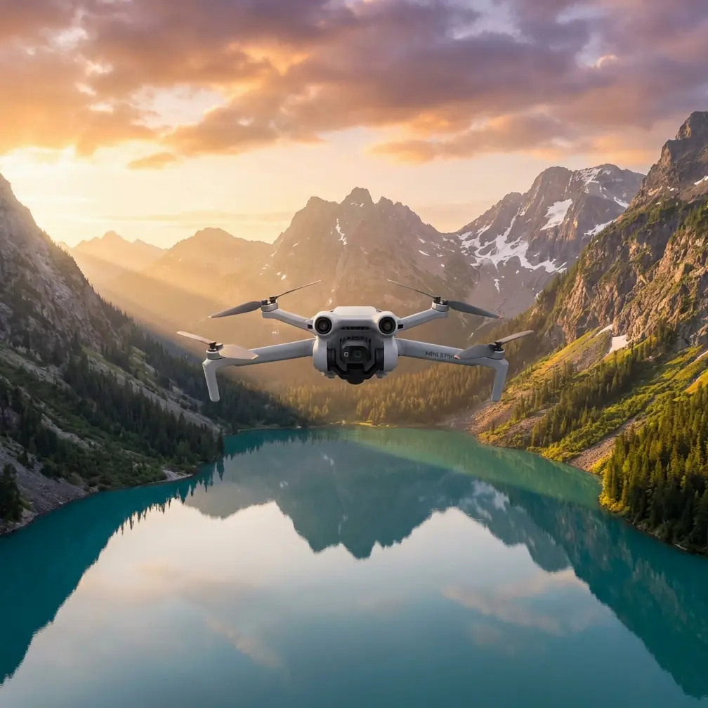
Coastal Surveying Guide: Air 3S Best Practices
Coastal Surveying Guide: Air 3S Best Practices
META: Master coastal surveying with the DJI Air 3S. Learn expert techniques for complex terrain mapping, obstacle avoidance, and battery optimization from field-tested workflows.
TL;DR
- Dual-camera system enables simultaneous wide-angle context shots and telephoto detail capture for comprehensive coastal documentation
- Omnidirectional obstacle avoidance proves essential when navigating cliff faces, sea stacks, and unpredictable coastal wind conditions
- 46-minute maximum flight time requires strategic battery management protocols for extended shoreline missions
- D-Log color profile preserves critical shadow and highlight detail in high-contrast beach and water environments
Why Coastal Surveying Demands Specialized Drone Capabilities
Coastal terrain presents unique challenges that expose the limitations of consumer-grade drones. Salt spray, sudden wind gusts, reflective water surfaces, and complex vertical structures like cliffs and rock formations require equipment that can adapt in real-time.
The Air 3S addresses these challenges through its integrated sensor suite and intelligent flight systems. Understanding how to leverage these capabilities separates successful coastal surveys from frustrating, incomplete missions.
The Dual-Camera Advantage for Shoreline Documentation
The Air 3S features a 1-inch CMOS wide-angle sensor paired with a 1/1.3-inch telephoto sensor offering 3x optical zoom. This combination transforms coastal surveying workflows.
During a recent erosion monitoring project along the Oregon coast, I captured wide establishing shots of entire cliff sections while simultaneously documenting specific erosion points at 70mm equivalent focal length. Previously, this required multiple passes or lens changes—now it happens in a single flight.
Key dual-camera applications for coastal work:
- Erosion tracking: Wide shots for context, telephoto for measuring specific retreat points
- Wildlife surveys: Document colony locations without disturbing nesting seabirds
- Infrastructure inspection: Capture pier or seawall overviews alongside detailed structural assessments
- Vegetation mapping: Identify invasive species spread patterns with telephoto precision
Expert Insight: When surveying reflective water surfaces, the telephoto lens often produces cleaner results than the wide-angle. The narrower field of view reduces glare interference and delivers more consistent exposure across the frame.
Mastering Obstacle Avoidance in Complex Coastal Environments
The Air 3S incorporates omnidirectional obstacle sensing using multiple vision sensors and a downward-facing time-of-flight sensor. For coastal work, this system becomes your primary safety net.
Configuring Obstacle Avoidance for Different Scenarios
The default obstacle avoidance settings work well for open beaches, but complex terrain requires adjustments:
Cliff Face Surveys
- Set obstacle avoidance to Bypass mode rather than Brake
- Reduce maximum speed to 8 m/s for predictable flight paths
- Enable APAS 5.0 for intelligent path planning around outcrops
Sea Stack Documentation
- Maintain Brake mode to prevent unexpected maneuvers near vertical surfaces
- Set minimum obstacle distance to 5 meters to account for wind drift
- Disable downward obstacle avoidance only when intentionally descending into confined spaces
Tidal Zone Operations
- Keep all sensors active—wet rocks and foam create unpredictable visual patterns
- Increase return-to-home altitude to clear any terrain between position and launch point
When Obstacle Avoidance Fails
Understanding the system's limitations prevents accidents. The Air 3S struggles to detect:
- Thin wires or fishing lines
- Transparent surfaces like wet glass or certain plastics
- Fast-moving objects entering the flight path
- Surfaces in direct, harsh sunlight creating sensor bloom
Always maintain visual line of sight and be prepared to take manual control.
Subject Tracking for Dynamic Coastal Documentation
ActiveTrack technology on the Air 3S enables autonomous subject following, valuable for documenting moving elements along coastlines.
Practical Tracking Applications
Tidal Flow Patterns Lock onto floating debris or foam lines to document current movements. The Trace mode follows behind the subject while Parallel mode maintains a consistent lateral offset—useful for showing flow direction relative to shoreline features.
Wildlife Movement Track marine mammals or shorebirds without constant manual input. The system maintains focus while you monitor for obstacles and adjust framing.
Vessel Documentation For port surveys or maritime archaeology projects, track boats to document their relationship to underwater features or infrastructure.
Pro Tip: When tracking subjects near water, set your minimum altitude to at least 10 meters. Tracking algorithms can sometimes descend aggressively to maintain framing, and water surface reflections may confuse the downward sensors.
Battery Management: Field-Tested Protocols for Extended Missions
Here's what I learned the hard way during a three-day survey of Vancouver Island's western shore: battery management makes or breaks coastal operations.
The Air 3S delivers up to 46 minutes of flight time under ideal conditions. Coastal conditions are rarely ideal. Expect 28-35 minutes of practical flight time when accounting for wind resistance, active obstacle avoidance processing, and temperature variations.
The 30-60-90 Protocol
I developed this system after losing a battery to cold-induced voltage drop:
- 30% remaining: Begin return-to-home sequence regardless of mission status
- 60% remaining: Complete current survey segment, do not start new sections
- 90% charged: Minimum charge level before deploying a battery in cold or windy conditions
Temperature Considerations
Coastal environments often feature significant temperature differentials between launch points and survey altitudes. A beach at 18°C might have 8°C air temperatures at 120 meters altitude.
Pre-warm batteries by:
- Storing them against your body during transport
- Running a brief hover at low altitude before ascending
- Using the DJI Fly app's battery warming feature when available
| Condition | Expected Flight Time | Recommended Reserve |
|---|---|---|
| Calm, warm (>20°C) | 42-46 minutes | 25% |
| Moderate wind (15-25 km/h) | 32-38 minutes | 30% |
| Cold (<10°C) | 28-35 minutes | 35% |
| Cold + windy | 22-28 minutes | 40% |
Leveraging QuickShots and Hyperlapse for Efficient Documentation
Automated flight modes reduce pilot workload while ensuring consistent, repeatable results.
QuickShots for Standardized Coverage
The Helix and Rocket QuickShots create standardized reveal shots useful for before/after erosion comparisons. By executing identical flight paths months apart, you generate directly comparable footage.
Dronie mode works exceptionally well for documenting your survey setup and providing geographic context for technical reports.
Hyperlapse for Tidal Documentation
The Air 3S Hyperlapse modes compress hours of tidal movement into seconds of footage. For coastal surveys, this capability documents:
- Tidal range and timing
- Wave pattern changes throughout tide cycles
- Beach profile modifications during storm events
- Sediment transport visualization
Set the Circle Hyperlapse around a fixed point of interest—a rock formation, pier piling, or erosion marker—to create compelling time-compressed documentation.
Optimizing D-Log for Coastal Color Science
Coastal environments present extreme dynamic range challenges. Bright sand, dark rocks, reflective water, and shadowed cliff faces often appear in a single frame.
The Air 3S D-Log M color profile captures approximately 12.8 stops of dynamic range, preserving detail that standard color profiles clip.
D-Log Workflow Essentials
- Expose for highlights: Protect bright sand and water reflections; shadows recover more cleanly than blown highlights
- Monitor histogram: The waveform display reveals clipping before it becomes visible on the preview screen
- Shoot at base ISO: ISO 100 for video maintains maximum dynamic range
- Plan for post-processing: D-Log footage requires color grading—budget time accordingly
For projects requiring minimal post-processing, the HLG profile offers a middle ground with expanded dynamic range and broadcast-ready color.
Common Mistakes to Avoid
Launching from unstable surfaces: Sand shifts, driftwood rolls, and wet rocks become slippery. Use a portable landing pad on solid ground.
Ignoring salt exposure: Even without direct water contact, salt spray accumulates on sensors and motors. Wipe down the aircraft after every coastal session with a slightly damp microfiber cloth, then dry thoroughly.
Trusting automated return-to-home over water: If your RTH path crosses water, the aircraft cannot emergency land. Always set RTH altitude above all obstacles and monitor the return visually.
Overlooking magnetic interference: Coastal areas with volcanic rock or metal-rich sand deposits can affect compass calibration. Calibrate at your launch point, not at home before departure.
Flying during golden hour without preparation: The most photogenic light coincides with rapidly changing conditions. Batteries cool faster, winds often shift at sunset, and visibility decreases quickly. Have your flight plan ready before the light peaks.
Frequently Asked Questions
How does the Air 3S handle salt air and coastal humidity?
The Air 3S lacks official IP rating for water or salt resistance. However, its sealed motor design and conformal-coated electronics provide reasonable protection against humidity and light salt exposure. Post-flight cleaning remains essential—use a soft brush to remove salt crystals from vents and gimbal mechanisms, followed by a wipe-down with a barely damp cloth.
What's the maximum wind speed for safe coastal surveying?
DJI rates the Air 3S for winds up to 12 m/s (43 km/h). For coastal work involving complex terrain and precision flying, I recommend limiting operations to 8 m/s (29 km/h) sustained winds. Gusts near cliffs and headlands often exceed sustained wind speeds by 50-100%, creating dangerous conditions even when ground-level winds seem manageable.
Can the Air 3S capture accurate survey-grade data for coastal mapping?
The Air 3S produces excellent visual documentation but lacks RTK positioning required for true survey-grade accuracy. For erosion monitoring and general mapping, its GPS/GLONASS/Galileo positioning provides sufficient accuracy for comparative analysis. Projects requiring centimeter-level precision should consider enterprise platforms with RTK integration or ground control point workflows.
Ready for your own Air 3S? Contact our team for expert consultation.