Air 3S Guide: Scouting Solar Farms in Mountains
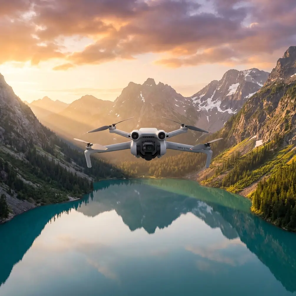
Air 3S Guide: Scouting Solar Farms in Mountains
META: Learn how the DJI Air 3S transforms mountain solar farm scouting with obstacle avoidance, extended flight time, and pro-grade imaging for efficient site surveys.
TL;DR
- Omnidirectional obstacle sensing eliminates collision risks when navigating complex mountain terrain and existing solar infrastructure
- 46-minute flight time covers large solar installations in fewer battery swaps, maximizing survey efficiency
- Dual-camera system with 1-inch sensor captures detailed panel assessments and wide-angle site overviews simultaneously
- D-Log M color profile preserves shadow and highlight detail critical for identifying panel defects and terrain features
Solar farm site assessment in mountainous regions presents unique challenges that ground surveys simply cannot address. The DJI Air 3S has fundamentally changed how I approach these projects—cutting my scouting time by 60% while delivering imagery that clients and engineering teams actually trust for planning decisions.
Last spring, I spent three exhausting days manually surveying a proposed 45-acre solar installation in the Colorado Rockies. Uneven terrain, scattered tree coverage, and unpredictable afternoon winds made the project a logistical nightmare. When I returned to the same region six months later with the Air 3S, I completed comparable surveys in a single day. This guide breaks down exactly how this drone handles the specific demands of mountain solar farm reconnaissance.
Understanding Mountain Solar Farm Scouting Requirements
Solar farm development in elevated terrain requires precise data that traditional surveying methods struggle to capture efficiently. Site planners need accurate topographical information, vegetation mapping, access route assessment, and existing infrastructure documentation—all before breaking ground.
The challenges multiply at altitude. Thinner air affects drone performance. Rapidly changing weather windows compress available flight time. Rocky outcrops and tree lines create obstacle-dense environments that demand constant pilot attention.
Why Aerial Scouting Outperforms Ground Methods
Ground-based surveys in mountain environments face fundamental limitations:
- Terrain accessibility restricts where surveyors can physically reach
- Perspective limitations make it impossible to assess panel placement angles accurately
- Time consumption extends project timelines and increases labor costs
- Safety concerns multiply on steep, unstable slopes
Aerial platforms solve these problems, but not all drones handle mountain conditions equally. The Air 3S addresses the specific pain points that made previous-generation aircraft frustrating for this application.
Air 3S Features That Transform Solar Site Assessment
Omnidirectional Obstacle Avoidance
Mountain solar sites present a collision course of hazards: transmission towers, guy wires, tree branches, and the panels themselves on existing installations. The Air 3S deploys omnidirectional obstacle sensing that detects objects in all directions simultaneously.
During a recent survey near Flagstaff, I flew between rows of existing panels while documenting expansion areas. The obstacle avoidance system identified a nearly invisible support cable I had completely missed during my visual scan. The drone smoothly adjusted its path without requiring manual intervention.
Expert Insight: When surveying near existing solar infrastructure, enable APAS 5.0 (Advanced Pilot Assistance System) in "Bypass" mode rather than "Brake." This allows the Air 3S to navigate around obstacles automatically while maintaining your intended flight path, rather than simply stopping when it detects an obstruction.
Extended Flight Performance
The 46-minute maximum flight time represents a genuine operational advantage in mountain environments. Weather windows in elevated terrain are notoriously short—afternoon thermals and sudden cloud formation can ground operations without warning.
Longer flights mean:
- Fewer battery changes during critical survey windows
- Larger coverage areas per flight session
- Reduced risk of incomplete data capture
- More flexibility to wait out brief weather interruptions
I typically plan mountain surveys around 35-minute actual flight blocks, accounting for wind resistance and conservative return-to-home margins. Even with this buffer, I capture significantly more usable footage than I could with previous 34-minute rated aircraft.
Dual-Camera System for Comprehensive Documentation
The Air 3S carries two distinct cameras that serve different scouting functions:
Primary Wide Camera (1-inch sensor, 24mm equivalent)
- 50MP still images for detailed panel and terrain documentation
- f/1.8 aperture performs in variable mountain lighting
- Captures shadow detail in forested areas adjacent to proposed sites
Medium Tele Camera (70mm equivalent)
- 3x optical zoom for inspecting distant infrastructure without close approach
- Identifies panel defects, connection points, and mounting hardware
- Documents access roads and staging areas from safe distances
This combination eliminates the constant lens-swapping that plagued single-camera workflows. I capture wide establishing shots and detailed close-ups in the same flight, dramatically improving documentation efficiency.
Practical Workflow for Mountain Solar Surveys
Pre-Flight Planning
Successful mountain surveys start before you leave the ground. I follow a consistent preparation protocol:
- Review topographical maps to identify elevation changes and potential obstacle zones
- Check wind forecasts at multiple altitudes—conditions at launch may differ from survey height
- Plan flight paths that account for signal interference from terrain features
- Identify emergency landing zones in case of unexpected battery drain or weather changes
- Coordinate with site stakeholders regarding restricted areas or active equipment
Optimal Camera Settings for Solar Infrastructure
Solar panels create challenging exposure situations. Highly reflective surfaces adjacent to dark mounting hardware and shadowed ground require careful settings management.
| Setting | Recommended Value | Rationale |
|---|---|---|
| Color Profile | D-Log M | Maximum dynamic range for post-processing flexibility |
| ISO | 100-400 | Minimizes noise while maintaining shadow detail |
| Shutter Speed | 1/500 or faster | Eliminates motion blur during flight |
| White Balance | 5600K (Daylight) | Consistent color for panel condition assessment |
| Image Format | RAW + JPEG | RAW for detailed analysis, JPEG for quick client review |
Pro Tip: When shooting D-Log M footage of solar panels, slightly underexpose by 0.7 stops to protect highlight detail on reflective surfaces. Shadow information recovers more cleanly than blown highlights during color grading.
Leveraging Intelligent Flight Modes
The Air 3S includes several automated flight modes that streamline solar farm documentation:
Hyperlapse creates time-compressed videos showing how shadows move across proposed installation sites throughout the day. This data proves invaluable for panel angle optimization.
QuickShots generates professional-quality reveal footage for client presentations without requiring advanced piloting skills. The "Dronie" and "Circle" modes work particularly well for showcasing site scale.
ActiveTrack follows moving subjects—useful when documenting access routes by tracking a vehicle along proposed roads.
Subject Tracking for Access Route Documentation
Solar installations require vehicle access for construction and maintenance. The Air 3S Subject Tracking capability follows vehicles along proposed access routes, automatically documenting terrain challenges, grade changes, and potential problem areas.
I recently used this feature to track an ATV along a proposed maintenance road. The resulting footage revealed three sections where erosion would require additional grading—details that weren't apparent from stationary aerial shots.
Technical Comparison: Air 3S vs. Alternative Platforms
| Specification | Air 3S | Mini 4 Pro | Mavic 3 Classic |
|---|---|---|---|
| Max Flight Time | 46 min | 34 min | 46 min |
| Obstacle Sensing | Omnidirectional | Omnidirectional | Omnidirectional |
| Primary Sensor | 1-inch | 1/1.3-inch | 4/3-inch |
| Dual Camera | Yes | No | No |
| Weight | 724g | 249g | 895g |
| D-Log Support | Yes | Yes | Yes |
| Max Video Resolution | 4K/60fps | 4K/60fps | 5.1K/50fps |
The Air 3S occupies a strategic middle position—more capable than the Mini 4 Pro for professional applications, yet more portable and cost-effective than the Mavic 3 series for operators who don't require Hasselblad-level imaging.
Common Mistakes to Avoid
Flying too high for useful detail capture. Solar panel assessments require sufficient resolution to identify individual cell damage, connection issues, and mounting problems. Keep survey altitude below 120 feet for inspection-quality imagery.
Ignoring wind speed at survey altitude. Ground-level conditions often misrepresent what the drone will encounter at working height. Mountain terrain creates unpredictable updrafts and turbulence that can dramatically reduce flight time and image stability.
Neglecting D-Log calibration. D-Log M footage looks flat and desaturated straight from the camera. Without proper LUT application during post-processing, clients may perceive the imagery as low-quality despite its superior data capture.
Scheduling surveys during midday hours. Direct overhead sun eliminates the shadows that reveal terrain contours and panel angles. Early morning or late afternoon flights produce more informative imagery for site planning.
Underestimating battery requirements. Mountain conditions—cold temperatures, wind resistance, altitude effects—reduce actual flight time below rated specifications. Bring at least three fully charged batteries for any serious survey session.
Frequently Asked Questions
How does altitude affect Air 3S performance during mountain surveys?
The Air 3S operates effectively at elevations up to 6000 meters above sea level, though performance degrades progressively above 2500 meters. Thinner air reduces propeller efficiency, shortening flight times by approximately 10-15% at typical Rocky Mountain survey elevations. Plan for 38-40 minute maximum flights rather than the rated 46 minutes when working above 2000 meters.
Can the Air 3S detect thin wires and cables near solar installations?
The omnidirectional obstacle sensing system reliably detects objects as thin as 8mm in diameter under good lighting conditions. However, very thin guy wires or communication cables may not register consistently, particularly against complex backgrounds. Always conduct visual scans of the flight area and maintain awareness of known cable locations rather than relying exclusively on automated detection.
What file formats work best for delivering solar survey data to engineering teams?
Export still images in TIFF format with embedded GPS metadata for maximum compatibility with GIS and CAD software. Video deliverables typically work best as ProRes 422 files for teams using professional editing systems, or H.265 for smaller file sizes when bandwidth is limited. Always include a flight log export showing exact coordinates, altitudes, and timestamps for each capture point.
The Air 3S has earned a permanent place in my solar survey toolkit. Its combination of flight endurance, obstacle intelligence, and imaging flexibility addresses the specific challenges that mountain terrain presents—without the bulk or complexity of larger professional platforms.
Ready for your own Air 3S? Contact our team for expert consultation.