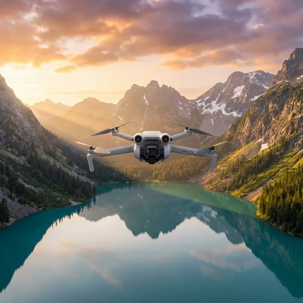
Monitoring Vineyards with Air 3S | Expert Tips
Monitoring Vineyards with Air 3S | Expert Tips
META: Discover how the DJI Air 3S transforms vineyard monitoring with dual cameras and obstacle avoidance. Expert tips for precision agriculture aerial surveys.
TL;DR
- Dual-camera system captures both wide-angle vineyard overviews and detailed vine health data in single flights
- Omnidirectional obstacle avoidance navigates trellises, posts, and wildlife without manual intervention
- 46-minute flight time covers up to 75 acres per battery in systematic survey patterns
- D-Log color profile preserves maximum dynamic range for post-processing crop stress analysis
Why Vineyard Managers Are Switching to Aerial Monitoring
Traditional vineyard inspections require hours of walking between rows, often missing early signs of disease or irrigation problems. The DJI Air 3S changes this equation entirely, delivering comprehensive aerial data that reveals patterns invisible from ground level.
After three seasons monitoring remote vineyard operations across California's Central Coast, I've refined techniques that maximize the Air 3S's capabilities for precision viticulture. This review breaks down exactly how this drone performs in demanding agricultural environments.
The Dual-Camera Advantage for Crop Analysis
The Air 3S features a 1-inch CMOS wide-angle sensor paired with a 1/1.3-inch 70mm telephoto lens. This combination proves invaluable for vineyard work.
The wide-angle camera captures:
- Full block overviews showing irrigation uniformity
- Row alignment verification
- Cover crop distribution patterns
- Drainage flow visualization after rain events
The telephoto lens delivers:
- Individual cluster counts without disturbing canopy
- Leaf curl and discoloration detection
- Pest damage identification on specific vines
- Trellis wire tension assessment
Expert Insight: Switch between cameras mid-flight using the controller's C1 button. I map wide shots at 200 feet AGL, then drop to 80 feet for telephoto passes over problem areas identified in the overview.
Obstacle Avoidance That Actually Works in Agriculture
During a dawn survey last October, a red-tailed hawk dove directly toward the Air 3S while I was capturing footage over a Pinot Noir block. The drone's omnidirectional sensing system detected the bird at 15 meters and executed a smooth lateral slide, maintaining its survey line while the hawk passed underneath.
This wasn't luck. The Air 3S uses:
- Forward/backward stereo vision with 38-meter detection range
- Lateral infrared sensors covering blind spots
- Downward ToF sensors for low-altitude precision
- APAS 5.0 algorithms that predict obstacle trajectories
In vineyard environments, these sensors navigate:
- End posts and anchor wires
- Irrigation risers extending above canopy
- Bird netting installations
- Deer fencing around block perimeters
Subject Tracking for Dynamic Vineyard Documentation
ActiveTrack 5.0 transforms how I document vineyard operations. Rather than manually flying alongside equipment, I lock onto a tractor during harvest and let the drone maintain perfect framing while I monitor the footage.
The tracking system handles:
- Spotlight mode for keeping subjects centered during complex maneuvers
- Point of Interest orbits around specific vine blocks
- Active tracking that follows workers through rows
For marketing content, I use QuickShots to create polished clips:
- Dronie reveals showing vineyard scale
- Circle orbits around winery buildings
- Helix ascending spirals over crush pads
Flight Performance in Remote Vineyard Conditions
Remote vineyard sites present unique challenges. Cellular coverage is often nonexistent, temperatures swing dramatically between dawn and midday, and wind channels through valleys unpredictably.
| Specification | Air 3S Performance | Vineyard Impact |
|---|---|---|
| Max Flight Time | 46 minutes | Full block coverage without battery swaps |
| Wind Resistance | Level 5 (38 kph) | Stable footage during afternoon thermals |
| Operating Temp | -10°C to 40°C | Dawn frost surveys through summer heat |
| Transmission Range | 20 km O4 | Reliable control across 500-acre properties |
| Max Speed | 75 kph | Rapid repositioning between distant blocks |
| Hover Accuracy | ±0.1m vertical | Consistent altitude for comparative imagery |
The 46-minute flight time represents a genuine operational advantage. I complete systematic surveys of 75-acre blocks on single batteries, capturing overlapping imagery at 80% front and 70% side overlap for photogrammetry processing.
Pro Tip: Calibrate the compass away from metal vineyard infrastructure. Trellis wires and steel posts create magnetic interference that degrades GPS accuracy. I use a designated takeoff zone at least 50 meters from any metal structures.
Hyperlapse for Seasonal Documentation
Vineyard managers increasingly value time-lapse content showing seasonal progression. The Air 3S Hyperlapse modes create stunning documentation:
- Free mode for custom flight paths along row corridors
- Circle mode for sunrise-to-sunset compressions
- Course Lock for consistent directional movement
- Waypoint mode for repeatable seasonal comparisons
I capture monthly Hyperlapse sequences from identical GPS coordinates, building annual progression videos that reveal:
- Bud break timing variations by block
- Canopy development rates
- Véraison color change patterns
- Post-harvest dormancy transitions
D-Log Color Profile for Agricultural Analysis
Standard color profiles crush shadow detail and clip highlights—exactly where crop stress indicators hide. D-Log preserves 12.8 stops of dynamic range, capturing subtle color variations that indicate:
- Nitrogen deficiency (pale green leaves)
- Water stress (early yellowing)
- Potassium deficiency (leaf margin browning)
- Viral infections (red blotching patterns)
Post-processing in DaVinci Resolve or Lightroom reveals these indicators clearly. I apply custom LUTs developed specifically for vineyard analysis, enhancing the green-yellow-red spectrum where most stress signals appear.
Battery Management for All-Day Operations
Remote vineyard work demands careful power planning. The Air 3S Fly More Combo includes:
- Three intelligent batteries providing 138 minutes total flight time
- Charging hub that sequences batteries automatically
- Car charger for field recharging between blocks
My standard survey day covers 400+ acres using this rotation:
- Fly Battery 1 while Batteries 2-3 charge
- Swap to Battery 2, continue charging
- Complete with Battery 3
- Return to vehicle, repeat cycle
Common Mistakes to Avoid
Flying too high for useful data: Altitudes above 250 feet reduce ground sampling distance below useful thresholds. For disease detection, stay between 60-100 feet AGL.
Ignoring wind patterns: Valley vineyards experience predictable wind acceleration through gaps. Check forecasts for gusts, not just sustained speeds. The Air 3S handles 38 kph sustained but struggles with sudden 50 kph gusts.
Skipping compass calibration: Metal vineyard infrastructure causes compass errors. Recalibrate at each new location, away from trellis systems.
Overexposing midday footage: Bright sun on green canopy creates harsh contrast. Shoot during golden hour or use ND filters to maintain 1/50 shutter speed for smooth video.
Neglecting battery temperature: Cold dawn surveys reduce battery capacity by up to 20%. Keep batteries warm in an insulated bag until launch.
Frequently Asked Questions
How many acres can the Air 3S survey per flight?
With systematic grid patterns at 200 feet AGL and 15 mph cruise speed, expect 70-80 acres of coverage per 46-minute battery. Lower altitudes for detailed inspection reduce this to approximately 30-40 acres.
Does the Air 3S work with agricultural mapping software?
Yes. Captured imagery integrates with Pix4D, DroneDeploy, and Agisoft Metashape for orthomosaic generation and NDVI analysis. Export images in DNG raw format for maximum processing flexibility.
What accessories improve vineyard monitoring performance?
Essential additions include ND filter sets for bright conditions, a landing pad to prevent dust ingestion, spare propellers for field replacement, and a tablet hood for screen visibility in direct sunlight.
The Air 3S has fundamentally changed how I approach vineyard documentation. Its combination of dual cameras, reliable obstacle avoidance, and extended flight time creates a tool that delivers genuine operational value—not just impressive specifications.
Ready for your own Air 3S? Contact our team for expert consultation.