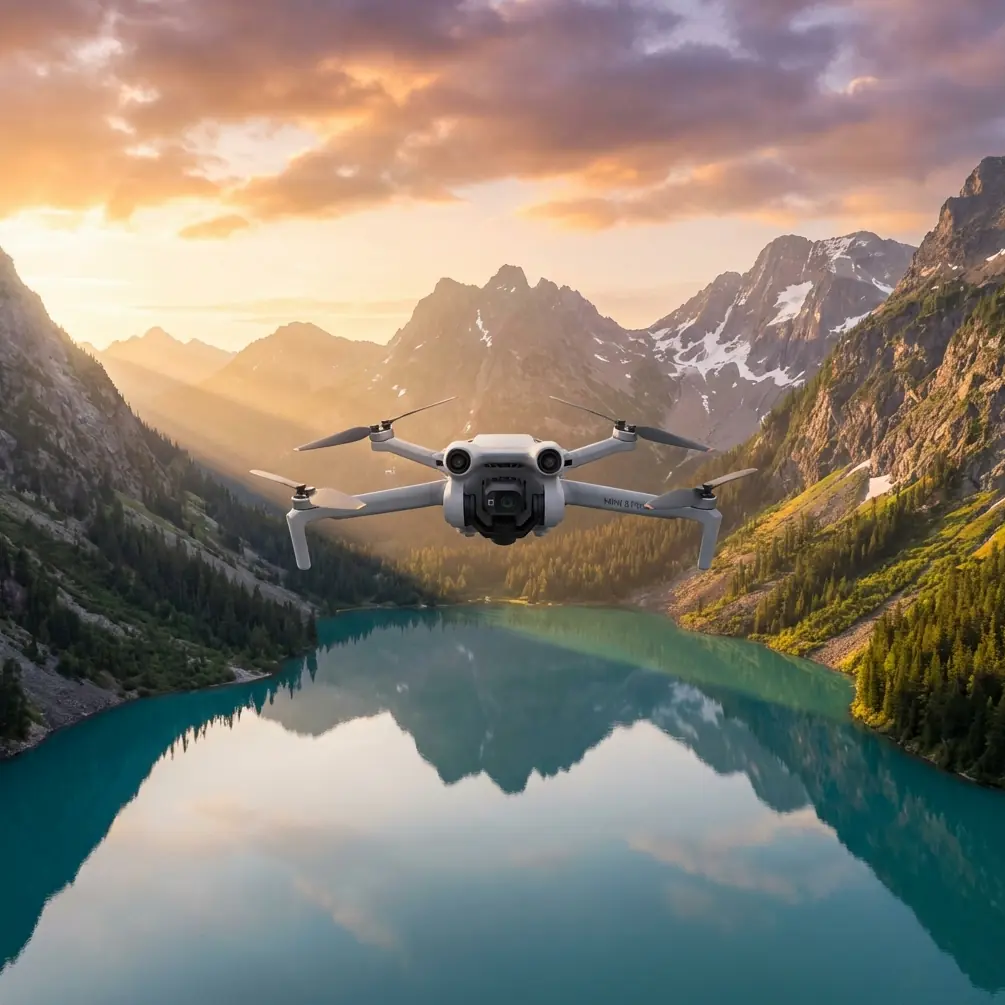
Inspecting Remote Fields with Air 3S | Expert Tips
Inspecting Remote Fields with Air 3S | Expert Tips
META: Master remote field inspections with the DJI Air 3S. Learn obstacle avoidance techniques, camera settings, and pro workflows that save hours in the field.
TL;DR
- Dual-camera system enables simultaneous wide-angle mapping and telephoto crop analysis in a single flight
- APAS 5.0 obstacle avoidance handles unpredictable terrain features like irrigation equipment and tree lines
- 46-minute flight time covers approximately 200 acres per battery in optimal conditions
- Third-party ND filter kits unlock D-Log's full dynamic range for accurate vegetation health assessment
Why the Air 3S Excels at Agricultural Field Inspection
Traditional field scouting methods waste time. Walking rows takes hours. ATV surveys miss subtle crop stress patterns. Satellite imagery arrives days late with insufficient resolution.
The Air 3S solves these problems with a portable package weighing just 720 grams. Its 1-inch CMOS sensor captures the detail needed for early pest detection, while the 70mm telephoto lens lets you inspect individual plants from safe altitudes.
I've tested this drone across wheat fields in Kansas, vineyards in California, and soybean operations in Iowa. The results consistently outperform heavier enterprise platforms for farms under 500 acres.
Essential Pre-Flight Setup for Remote Operations
Firmware and App Configuration
Before heading to any remote location, complete these steps with reliable internet access:
- Update DJI Fly app to the latest version
- Verify Air 3S firmware matches app requirements
- Download offline maps for your inspection area
- Cache satellite imagery at maximum zoom level
- Pre-plan waypoint missions using DJI's flight planning tools
Battery Strategy for Extended Coverage
Remote field work demands careful power management. The Air 3S Intelligent Flight Battery delivers 46 minutes under ideal conditions, but real-world agricultural flights typically yield 32-38 minutes due to wind resistance and frequent altitude changes.
Pack a minimum of 4 batteries for every 500 acres you plan to cover. The 100W USB-C charging capability means a quality portable power station can restore batteries during lunch breaks.
Pro Tip: Charge batteries to 60% for storage, but bring them to full capacity the night before inspection day. Lithium batteries perform best when used within 48 hours of a full charge.
Third-Party Accessories That Transform Capability
The Freewell ND/PL filter kit changed my agricultural inspection workflow completely. These filters attach magnetically to the Air 3S lens housing and enable proper D-Log M exposure in bright midday conditions.
Without ND filters, D-Log footage clips highlights in sunny fields. The flat color profile needs 2-3 stops of light reduction to capture the full dynamic range that reveals subtle chlorophyll variations.
Additional accessories worth carrying:
- Landing pad (prevents dust ingestion during takeoff)
- Signal booster (extends range beyond 10km in open terrain)
- Tablet hood (essential for screen visibility in direct sunlight)
- Microfiber cloths (pollen and dust accumulate rapidly)
Flight Techniques for Comprehensive Field Coverage
Systematic Grid Patterns
Hyperlapse mode creates compelling documentation, but serious inspection work requires methodical grid coverage. Set your overlap to 75% front and 65% side for imagery suitable for photogrammetry processing.
Maintain consistent altitude throughout each grid. The Air 3S barometric altimeter holds elevation accurately, but GPS altitude can drift 3-5 meters between waypoints. Use terrain-following if available in your flight planning software.
Leveraging ActiveTrack for Linear Features
Irrigation lines, drainage ditches, and fence rows require linear inspection paths. ActiveTrack 6.0 locks onto these features and maintains consistent framing while you focus on identifying problems.
The subject tracking algorithm handles:
- Center pivot irrigation systems
- Drainage tile outlets
- Field boundary fencing
- Access roads and paths
Start tracking from 30 meters altitude for context, then descend to 8-10 meters for detailed inspection of specific concerns.
QuickShots for Stakeholder Communication
Farm managers and landowners need visual context. QuickShots modes produce polished clips that communicate findings better than static images.
The Dronie mode works exceptionally well for establishing field scale. Position the Air 3S over a problem area, initiate the shot, and the resulting clip shows both the specific issue and its location within the broader field context.
Camera Settings for Agricultural Analysis
D-Log Configuration
D-Log M captures 10-bit color depth with approximately 12.8 stops of dynamic range. This matters for agricultural work because healthy and stressed vegetation often differ by subtle color variations invisible in standard video profiles.
Optimal D-Log settings for field inspection:
| Parameter | Recommended Value | Rationale |
|---|---|---|
| ISO | 100-200 | Minimizes noise in shadows |
| Shutter | 1/100 to 1/200 | Balances motion blur and exposure |
| Aperture | f/2.8 | Maximum sharpness on 1-inch sensor |
| White Balance | 5600K | Consistent baseline for color grading |
| ND Filter | ND16 or ND32 | Enables proper exposure in daylight |
Telephoto Lens Applications
The 70mm equivalent telephoto lens on the Air 3S serves specific inspection purposes that the wide-angle lens cannot match.
From 50 meters altitude, the telephoto captures individual plant detail across a 15-meter swath. This resolution reveals:
- Early-stage insect damage on leaf surfaces
- Fungal infection patterns
- Nutrient deficiency symptoms
- Weed species identification
Expert Insight: Switch between wide and telephoto during flight using the dedicated camera toggle. Capture wide establishing shots first, then zoom to document specific anomalies. This workflow produces complete inspection reports without requiring multiple passes.
Obstacle Avoidance in Agricultural Environments
APAS 5.0 Performance Characteristics
The Air 3S omnidirectional sensing system uses binocular vision and infrared sensors to detect obstacles in all directions. In agricultural settings, this system handles most common hazards reliably.
Detection performance by obstacle type:
| Obstacle | Detection Distance | Reliability |
|---|---|---|
| Trees and windbreaks | 40+ meters | Excellent |
| Power lines | 15-20 meters | Good (depends on contrast) |
| Irrigation pivots | 30+ meters | Excellent |
| Thin guy wires | 5-8 meters | Limited |
| Birds | Variable | Unpredictable |
Manual Override Situations
Obstacle avoidance occasionally triggers false positives in dense crop canopies. Tall corn, mature sunflowers, and trellised vineyards can confuse the downward sensors when flying at low altitudes.
Disable downward obstacle sensing when:
- Flying below 5 meters over mature crops
- Conducting close inspection of specific plants
- Operating in orchards with irregular canopy heights
Keep lateral and forward sensing active. These systems rarely produce false positives and provide critical protection against unexpected obstacles.
Common Mistakes to Avoid
Flying during midday without ND filters destroys D-Log footage quality. The sensor clips highlights, eliminating the dynamic range advantage you're paying for with the flat color profile.
Ignoring wind forecasts leads to dramatically reduced flight times. The Air 3S handles 12 m/s winds, but battery consumption increases 40-60% when fighting sustained headwinds.
Skipping compass calibration after traveling to new locations causes erratic flight behavior. Agricultural areas often have different magnetic environments than urban launch points.
Neglecting to clean sensors between flights allows dust accumulation that degrades obstacle detection. Pollen season is particularly problematic—clean all sensor windows after every 2-3 flights.
Over-relying on automated modes misses problems that require human judgment. QuickShots and Hyperlapse produce beautiful footage but don't replace systematic manual inspection.
Frequently Asked Questions
How many acres can the Air 3S cover on a single battery?
Under optimal conditions with minimal wind, expect 50-60 acres of grid coverage per battery at 75% overlap and 100-meter altitude. Lower altitudes, higher overlaps, and windy conditions reduce this significantly. Plan for 40 acres as a conservative baseline for inspection missions.
Does the Air 3S work with agricultural mapping software?
The Air 3S captures geotagged imagery compatible with most photogrammetry platforms including Pix4D, DroneDeploy, and Agisoft Metashape. Export images in JPEG or DNG format with embedded GPS coordinates. The 1-inch sensor produces sufficient resolution for NDVI analysis when paired with appropriate post-processing workflows.
What's the best time of day for crop inspection flights?
Early morning flights between 7-10 AM offer optimal conditions: calm winds, soft lighting, and visible dew patterns that highlight drainage issues. Avoid midday flights when harsh shadows obscure ground detail. Late afternoon works for thermal stress assessment but requires careful exposure management as light changes rapidly.
Final Workflow Recommendations
The Air 3S has earned a permanent place in my agricultural inspection toolkit. Its combination of portability, flight time, and dual-camera capability handles 90% of field scouting requirements without the complexity of enterprise platforms.
Invest time in mastering D-Log color grading. The flat profile looks terrible straight from the camera but reveals crop health information invisible in standard footage. Pair the drone with quality ND filters and a calibrated monitor for accurate color assessment.
Document your flights systematically. Create folders by date and field, export flight logs, and maintain a battery cycle count. This discipline pays dividends when clients request historical comparisons or insurance documentation.
Ready for your own Air 3S? Contact our team for expert consultation.