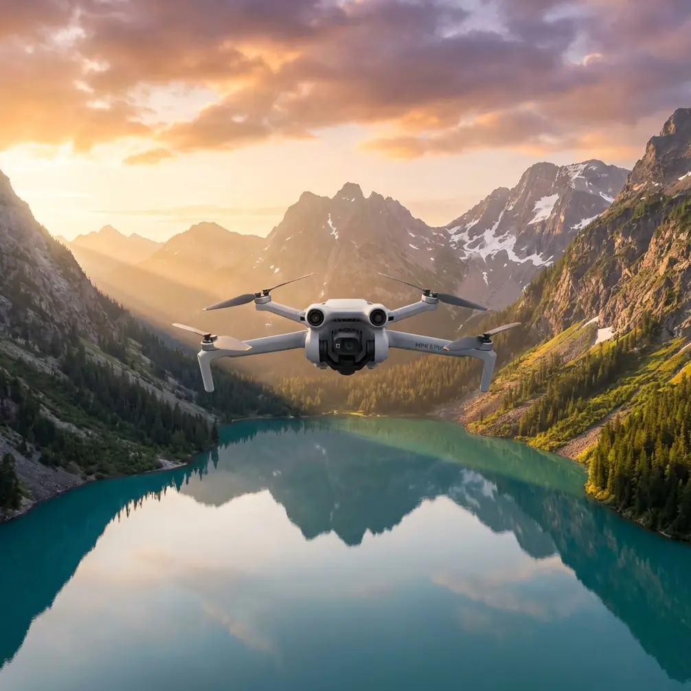
Air 3S Construction Site Inspection: High Altitude Guide
Air 3S Construction Site Inspection: High Altitude Guide
META: Master high-altitude construction site inspections with the Air 3S. Learn optimal flight settings, obstacle avoidance tips, and pro techniques for precise aerial surveys.
TL;DR
- Optimal flight altitude for construction inspections ranges from 50-120 meters depending on site complexity and regulatory requirements
- The Air 3S's omnidirectional obstacle avoidance system performs reliably up to 5,000 meters elevation
- D-Log color profile captures 12.4 stops of dynamic range, essential for documenting structural details in harsh lighting
- ActiveTrack 6.0 enables hands-free tracking of moving equipment while maintaining safe distances
Why High-Altitude Construction Inspections Demand Specialized Techniques
Construction site documentation at elevation presents unique challenges that standard drone operations simply don't address. Thin air affects flight dynamics, unpredictable wind patterns threaten stability, and complex structures create obstacle-rich environments.
The Air 3S addresses these challenges with a 1-inch CMOS sensor capable of capturing 48MP stills and 4K/60fps video. For construction professionals, this translates to documentation detailed enough to identify hairline cracks, rebar placement issues, and structural anomalies from safe distances.
Expert Insight: When inspecting construction sites above 2,500 meters elevation, reduce your maximum speed setting by 15-20%. The thinner air reduces propeller efficiency, and the Air 3S compensates by drawing more power—preserving this headroom extends your effective flight time by approximately 4-6 minutes.
Understanding Optimal Flight Altitude for Construction Documentation
The Sweet Spot: 50-120 Meters
Flight altitude selection isn't arbitrary. Each height range serves specific inspection purposes:
30-50 meters: Detailed structural inspection
- Captures individual bolt connections
- Identifies surface defects and weathering
- Best for scaffolding and temporary structure assessment
50-80 meters: Mid-range comprehensive surveys
- Balances detail with coverage area
- Ideal for progress documentation
- Captures equipment positioning and material staging
80-120 meters: Site-wide overview
- Complete project visualization
- Perimeter and access route documentation
- Stakeholder presentation footage
Above 120 meters: Regulatory considerations apply
- Requires additional permissions in most jurisdictions
- Useful for large-scale earthwork projects
- Environmental impact documentation
Adjusting for Actual Elevation
Here's what many operators miss: your flight altitude compounds with site elevation. A construction project at 3,000 meters above sea level with a 100-meter flight altitude means your drone operates at an effective 3,100 meters.
The Air 3S maintains stable flight characteristics up to 6,000 meters, but performance degradation begins around 4,500 meters. Plan accordingly.
Configuring Obstacle Avoidance for Complex Construction Environments
Construction sites present a unique obstacle profile: cranes swing unpredictably, scaffolding creates geometric mazes, and temporary structures appear between site visits.
Recommended Obstacle Avoidance Settings
The Air 3S features omnidirectional sensing with forward, backward, lateral, upward, and downward detection. For construction inspections, configure these parameters:
- Horizontal obstacle sensing: Set to Brake mode rather than Bypass
- Minimum safe distance: Increase to 5 meters from the default 3 meters
- Upward sensing: Enable always—cranes and booms create overhead hazards
- Return-to-Home altitude: Set 20 meters above the tallest structure on site
When to Disable Obstacle Avoidance
Certain inspection scenarios require temporary deactivation:
- Documenting interior spaces through window openings
- Flying beneath covered structures
- Capturing tight clearances between structural elements
Pro Tip: Create a custom flight mode specifically for close-proximity inspection work. Name it something obvious like "CLOSE INSPECTION" and configure obstacle avoidance to Warning Only mode. This preserves sensor data for your awareness while allowing manual override when necessary.
Leveraging Subject Tracking for Dynamic Site Documentation
ActiveTrack 6.0 transforms how you document active construction sites. Rather than manually piloting while equipment operates, let the Air 3S handle flight path management.
Tracking Moving Equipment
Heavy machinery documentation benefits enormously from subject tracking:
- Excavators and loaders: Track material movement patterns
- Cranes: Document swing radius and load paths
- Concrete trucks: Capture pour sequences from optimal angles
Configure ActiveTrack with these construction-specific settings:
- Tracking sensitivity: Medium (prevents false locks on similar-colored equipment)
- Obstacle response: Pause and hover (maintains tracking lock while avoiding collisions)
- Altitude lock: Enabled (prevents altitude drift during extended tracking sequences)
Spotlight Mode vs. Active Track
For construction documentation, Spotlight mode often outperforms full ActiveTrack:
| Feature | Spotlight Mode | ActiveTrack |
|---|---|---|
| Camera orientation | Locked on subject | Locked on subject |
| Drone movement | Manual control | Automatic following |
| Best use case | Stationary equipment detail | Moving equipment documentation |
| Obstacle avoidance | Full manual awareness | System-assisted |
| Battery consumption | Lower | Higher |
Mastering D-Log for Construction Documentation
The Air 3S's D-Log color profile captures the widest possible dynamic range—critical for construction sites where deep shadows and bright sky coexist in nearly every frame.
Why D-Log Matters for Inspections
Standard color profiles crush shadow detail and blow out highlights. When documenting structural elements, you need:
- Shadow recovery: See into covered areas and beneath overhangs
- Highlight preservation: Maintain detail in reflective surfaces and sky
- Color accuracy: Distinguish between materials, coatings, and conditions
D-Log Settings for Construction
Configure your Air 3S with these parameters:
- Color profile: D-Log M
- ISO: 100-400 for daylight conditions
- Shutter speed: 1/focal length x 2 minimum
- White balance: Manual, set to 5600K for consistency
Post-processing D-Log footage requires color grading, but the flexibility gained is worth the additional workflow step.
QuickShots and Hyperlapse for Stakeholder Presentations
Technical inspection footage serves operational needs, but stakeholder communication requires polished presentation materials.
QuickShots for Professional Results
The Air 3S includes automated flight patterns that create cinematic sequences:
- Dronie: Ascending reveal of entire site
- Rocket: Vertical ascent showcasing vertical construction progress
- Circle: 360-degree orbit around key structures
- Helix: Ascending spiral combining Circle and Rocket movements
Construction Hyperlapse Techniques
Hyperlapse documentation captures progress over extended periods. The Air 3S supports:
- Free mode: Manual flight path with time compression
- Circle mode: Automated orbit with configurable duration
- Course Lock: Linear path with consistent heading
- Waypoint mode: Repeatable complex paths for consistent progress documentation
For construction progress documentation, Waypoint Hyperlapse delivers the most professional results. Program your flight path once, then execute identical passes weekly or monthly.
Technical Specifications Comparison
| Specification | Air 3S | Relevance to Construction Inspection |
|---|---|---|
| Sensor | 1-inch CMOS | Captures fine structural detail |
| Photo resolution | 48MP | Enables digital zoom without quality loss |
| Video resolution | 4K/60fps | Smooth documentation of moving equipment |
| Max flight time | 46 minutes | Complete site coverage in single flight |
| Max transmission range | 20km | Reliable connection across large sites |
| Obstacle sensing | Omnidirectional | Essential for complex site navigation |
| Max altitude | 6,000m | Reliable high-elevation operation |
| Wind resistance | 12m/s | Stable footage in exposed conditions |
| Operating temperature | -10°C to 40°C | Year-round operation capability |
Common Mistakes to Avoid
Ignoring Wind Patterns at Elevation
High-altitude sites experience dramatically different wind conditions than ground level. The Air 3S reports wind speed and direction—monitor these readings continuously and establish a personal abort threshold before each flight.
Overlooking Battery Temperature
Cold temperatures at elevation reduce battery capacity by up to 30%. Keep batteries warm until launch, and monitor voltage more frequently than you would at sea level.
Forgetting Regulatory Altitude Stacking
Your flight altitude adds to ground elevation. A 100-meter flight at a 2,000-meter elevation site means you're operating at 2,100 meters—potentially triggering different regulatory requirements.
Neglecting Pre-Flight Site Surveys
Construction sites change constantly. Conduct a visual survey before each flight to identify new obstacles, active work zones, and personnel locations.
Using Auto Exposure for Documentation
Auto exposure creates inconsistent footage that's difficult to compare across inspection dates. Lock exposure settings manually for repeatable, comparable documentation.
Frequently Asked Questions
How does the Air 3S perform in dusty construction environments?
The Air 3S handles moderate dust exposure well, but fine particulates can affect obstacle sensors over time. After flying in dusty conditions, clean sensor windows with a microfiber cloth and compressed air. Avoid flying during active earthmoving operations when dust clouds are visible.
Can I fly the Air 3S near active cranes?
Yes, but with precautions. Maintain minimum 30-meter horizontal distance from crane booms, coordinate with crane operators before flight, and never fly in the crane's swing path. The Air 3S's obstacle avoidance helps, but crane movements can outpace sensor response times.
What's the best time of day for construction site inspections?
Early morning or late afternoon provides optimal lighting with reduced shadows and glare. Midday sun creates harsh shadows that obscure structural details. For sites with significant vertical elements, golden hour lighting reveals surface textures and conditions that flat lighting misses.
Final Recommendations
High-altitude construction inspection demands respect for both the environment and the technology. The Air 3S provides the sensor quality, flight stability, and intelligent features necessary for professional documentation—but success ultimately depends on operator preparation and judgment.
Start each project with a thorough site assessment, configure your obstacle avoidance conservatively, and build flight time gradually as you learn each site's unique characteristics.
Ready for your own Air 3S? Contact our team for expert consultation.