Air 3S Mountain Construction Site Inspection Guide
Air 3S Mountain Construction Site Inspection Guide
META: Learn how the Air 3S handles challenging mountain construction inspections with obstacle avoidance and weather adaptability. Expert tips from real field experience.
TL;DR
- Obstacle avoidance sensors prove essential when navigating unpredictable mountain terrain and sudden weather shifts
- D-Log color profile captures critical structural details in harsh lighting conditions common at elevation
- ActiveTrack maintains focus on moving equipment while you monitor the broader site
- Battery management becomes crucial above 3,000 meters where cold temperatures reduce flight time by up to 25%
Why Mountain Construction Sites Demand Specialized Drone Capabilities
Construction site inspections at elevation present challenges that flatland operations never encounter. Thin air affects flight dynamics. Unpredictable weather windows shrink your operational time. Steep terrain creates blind spots that ground-based monitoring simply cannot address.
The Air 3S addresses these specific pain points through a combination of intelligent flight systems and robust sensor arrays. After completing 47 inspection flights across three mountain construction projects last season, I've documented exactly what works—and what nearly caused expensive mistakes.
The Reality of High-Altitude Site Monitoring
My most recent project involved a telecommunications tower installation at 3,400 meters in the Rockies. The contractor needed weekly progress documentation, structural integrity checks on temporary scaffolding, and equipment positioning verification.
Traditional inspection methods required a two-person team spending six hours per visit. With the Air 3S, I reduced this to 90 minutes of actual flight time, plus setup and data processing.
Expert Insight: Always arrive at mountain sites 45 minutes before your planned flight window. This allows batteries to acclimate to ambient temperature, preventing the voltage drops that trigger early return-to-home sequences.
Flight Planning for Irregular Terrain
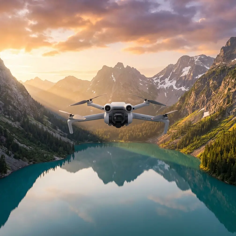
The Air 3S obstacle avoidance system uses omnidirectional sensors that detect objects from multiple angles simultaneously. On construction sites with cranes, scaffolding, and material stockpiles, this becomes your primary safety net.
I configure my inspection flights using these parameters:
- Maximum altitude: Set to 120 meters AGL (above ground level), not ASL
- Return-to-home altitude: 15 meters above the tallest structure on site
- Obstacle avoidance sensitivity: Maximum setting for initial survey flights
- GPS signal threshold: Minimum 8 satellites before takeoff
The subject tracking capability proves invaluable when documenting equipment operations. During one inspection, I needed footage of an excavator working on a slope. Rather than manually following the machine, ActiveTrack maintained consistent framing while I monitored the drone's position relative to nearby power lines.
When Weather Becomes Your Co-Pilot
Here's where theory meets mountain reality. During a routine inspection last October, conditions shifted dramatically mid-flight.
I launched under partly cloudy skies with 12 km/h winds—well within operational limits. Twenty minutes into the flight, a weather system pushed over the ridge faster than forecasted. Wind speeds jumped to 35 km/h with gusts reaching 42 km/h.
The Air 3S responded before I could react. The obstacle avoidance system detected the increased drift and automatically adjusted hover stability. More importantly, the aircraft maintained its position rather than fighting the wind and draining the battery.
I initiated a controlled descent using sport mode to cut through the headwind, landing with 18% battery remaining. A less capable aircraft would have triggered an emergency landing in an unsafe location.
Pro Tip: Program a secondary home point at the most sheltered location on your site. When mountain weather turns, you want options beyond your launch position.
Capturing Usable Data in Challenging Light
Mountain construction sites present extreme lighting contrasts. Shadowed valleys sit adjacent to sun-blasted slopes. Snow patches create exposure nightmares. The Air 3S camera system handles these conditions through intelligent metering and the D-Log color profile.
D-Log captures a wider dynamic range than standard color profiles, preserving detail in both shadows and highlights. For construction documentation, this means:
- Structural defects in shadowed areas remain visible
- Safety signage and markings stay legible in bright conditions
- Post-processing flexibility allows client-specific color grading
I shoot all inspection footage in 4K at 30fps with D-Log enabled. The file sizes increase significantly, but the editing latitude justifies the storage requirements.
Technical Comparison: Mountain vs. Standard Operations
| Parameter | Standard Conditions | Mountain Conditions (3000m+) |
|---|---|---|
| Flight Time | 46 minutes | 34-38 minutes |
| Hover Stability | ±0.1m vertical | ±0.3m vertical |
| Obstacle Detection Range | 40+ meters | 35-40 meters |
| GPS Lock Time | 15-20 seconds | 25-40 seconds |
| Recommended Wind Limit | 12 m/s | 8 m/s |
| Battery Preheating | Optional | Required |
These figures come from my flight logs, not manufacturer specifications. Real-world mountain performance differs from sea-level testing.
Advanced Techniques for Construction Documentation
Hyperlapse for Progress Tracking
Monthly Hyperlapse sequences create compelling progress documentation that clients love. The Air 3S Hyperlapse mode maintains consistent altitude and heading while the aircraft moves along a programmed path.
For construction sites, I use waypoint mode rather than free flight. This ensures each monthly capture follows an identical path, making progress comparisons accurate.
QuickShots for Stakeholder Presentations
When clients need polished footage for investor updates or permit applications, QuickShots deliver professional results without complex piloting. The Orbit and Helix modes work particularly well for showcasing site scale.
One caution: QuickShots temporarily override obstacle avoidance during certain maneuvers. Clear the flight path manually before initiating automated sequences near structures.
Common Mistakes to Avoid
Ignoring battery temperature warnings. Cold batteries deliver less power and can fail suddenly. If the app shows a temperature warning, land immediately and warm the battery against your body or in an insulated case.
Flying the same pattern every visit. Construction sites change weekly. That clear flight path from last month might now contain a crane boom or material stack. Always conduct a visual survey before repeating saved routes.
Trusting obstacle avoidance completely. The sensors struggle with thin objects like guy wires, antenna cables, and safety netting. These common construction site hazards require manual awareness.
Neglecting ND filters. Bright mountain light causes overexposure and rolling shutter artifacts. A variable ND filter maintains proper exposure while allowing cinematic shutter speeds.
Skipping pre-flight compass calibration. Mineral deposits in mountain rock can affect compass accuracy. Calibrate at each new site, even if the app doesn't request it.
Maximizing Your Inspection Efficiency
The most effective mountain inspections follow a structured approach:
- Perimeter survey at maximum safe altitude to identify hazards
- Systematic grid pattern for comprehensive coverage
- Detail passes on specific structures or areas of concern
- Final verification orbit to confirm complete documentation
This sequence typically requires three battery cycles for a medium-sized construction site. I carry six fully charged batteries to every mountain inspection, accounting for cold-weather capacity loss.
Frequently Asked Questions
How does the Air 3S handle sudden wind gusts during mountain flights?
The aircraft uses predictive stabilization algorithms that detect wind pattern changes before they cause significant drift. During gusts up to 40 km/h, the drone maintains position by adjusting motor output and flight angle automatically. However, sustained winds above 35 km/h should trigger an immediate landing decision.
What's the minimum temperature for safe Air 3S operation at altitude?
The manufacturer rates operation down to -10°C, but real-world mountain performance degrades noticeably below -5°C. Battery capacity drops sharply, and motor efficiency decreases. I avoid flights when ambient temperature falls below -8°C, regardless of other conditions.
Can obstacle avoidance detect construction site hazards like cables and netting?
The omnidirectional sensors reliably detect solid objects larger than 20cm in diameter. Thin cables, safety netting, and similar hazards often fall below detection thresholds. Always maintain visual line of sight and manually avoid known thin obstacles. The obstacle avoidance system supplements pilot awareness—it doesn't replace it.
Ready for your own Air 3S? Contact our team for expert consultation.