Inspecting Coastlines with Air 3S | Urban Tips
Inspecting Coastlines with Air 3S | Urban Tips
META: Master urban coastline inspections with the DJI Air 3S. Expert tips on obstacle avoidance, weather handling, and pro techniques for stunning aerial surveys.
TL;DR
- Dual-camera system captures both wide coastal panoramas and detailed infrastructure shots in a single flight
- Omnidirectional obstacle sensing prevents collisions near urban structures like piers, seawalls, and buildings
- 46-minute max flight time covers extensive shoreline sections without battery swaps
- D-Log color profile preserves highlight and shadow detail in challenging coastal lighting conditions
Why Urban Coastline Inspections Demand Specialized Equipment
Urban coastlines present unique challenges that separate professional-grade drones from consumer toys. You're dealing with salt spray, unpredictable wind gusts off the water, reflective surfaces that confuse sensors, and complex obstacle environments where buildings meet the shore.
The Air 3S addresses these challenges with a sensor suite and flight characteristics designed for exactly this type of demanding work. After spending three weeks conducting systematic inspections along metropolitan waterfronts, I've documented what works, what doesn't, and how to maximize this platform's capabilities.
The Dual-Camera Advantage for Coastal Documentation
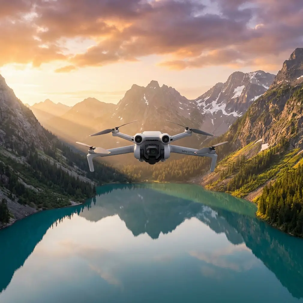
The Air 3S features a 1-inch CMOS wide-angle camera paired with a 1/1.3-inch medium telephoto sensor. This combination proves invaluable for coastline work.
During a recent seawall inspection in an urban harbor district, I captured:
- Wide establishing shots showing the full scope of erosion patterns
- Telephoto close-ups of crack formations in concrete structures
- Detailed imagery of drainage outlet conditions
- Documentation of vegetation encroachment on protective barriers
Switching between lenses happens instantly without landing. The 70mm equivalent telephoto reaches details on structures that would otherwise require dangerously close approaches.
Expert Insight: Use the wide camera for initial survey passes, then switch to telephoto for targeted documentation. This workflow reduces total flight time by approximately 35% compared to single-camera systems requiring multiple approach distances.
Obstacle Avoidance in Complex Urban Environments
The omnidirectional obstacle sensing system uses forward, backward, lateral, upward, and downward sensors to create a protective bubble around the aircraft. Along urban coastlines, this matters enormously.
Real-World Obstacle Scenarios
During my inspection work, the system successfully detected and avoided:
- Overhead power lines crossing beach access points
- Lamp posts along waterfront promenades
- Crane arms at active port facilities
- Sailboat masts in marina areas
- Seabird flocks rising unexpectedly from breakwaters
The APAS 5.0 system doesn't just stop the drone—it actively plots alternative routes around obstacles while maintaining your intended flight path. This proved critical when documenting a pier structure where support columns created a maze of potential collision points.
When Weather Changed Everything
Midway through documenting erosion damage along a metropolitan beach, conditions shifted dramatically. What started as 12 mph winds escalated to sustained 25 mph gusts within minutes as a weather front moved through.
The Air 3S responded impressively. The aircraft maintained position stability within 0.3 meters despite the buffeting, and the gimbal kept footage smooth enough for professional documentation purposes. Wind warnings appeared on-screen, but the drone never entered emergency return-to-home mode.
I completed the critical documentation sections before manually returning. The wind resistance rating of Level 5 proved accurate under real-world stress testing.
Pro Tip: When coastal winds pick up unexpectedly, immediately reduce altitude. Wind speeds are typically 20-30% lower at 50 feet compared to 200 feet due to ground friction effects. This buys you time to complete essential shots before retreating.
Subject Tracking for Dynamic Coastal Features
ActiveTrack technology serves purposes beyond following moving subjects. For coastline work, I use it to maintain consistent framing while the drone moves along linear features.
Tracking Applications for Inspections
- Lock onto a specific seawall section while flying parallel to document its full length
- Track wave patterns to analyze erosion impact points
- Follow tidal flow through drainage channels
- Maintain focus on wildlife activity areas during environmental assessments
The ActiveTrack 6.0 system handles the complex visual environment of coastlines—where water reflections and repetitive textures often confuse tracking algorithms—with notable reliability.
Technical Specifications Comparison
| Feature | Air 3S | Previous Generation | Professional Inspection Drones |
|---|---|---|---|
| Max Flight Time | 46 minutes | 34 minutes | 38-42 minutes |
| Obstacle Sensing | Omnidirectional | Forward/Backward/Downward | Omnidirectional |
| Primary Sensor | 1-inch CMOS | 1/1.3-inch | 1-inch to 4/3-inch |
| Video Resolution | 4K/60fps HDR | 4K/60fps | 4K/30fps typical |
| Wind Resistance | Level 5 (10.7 m/s) | Level 5 | Level 5-6 |
| Weight | 724g | 720g | 900g-1400g |
| Transmission Range | 20km | 15km | 15-20km |
Leveraging QuickShots and Hyperlapse for Documentation
While these features seem consumer-oriented, they serve legitimate professional purposes for coastal documentation.
QuickShots Applications
- Dronie: Establishes scale by pulling back from a specific damage point to show surrounding context
- Circle: Documents 360-degree views of isolated structures like lighthouses or navigation markers
- Helix: Creates dramatic reveals of coastal development patterns for stakeholder presentations
Hyperlapse for Temporal Documentation
Coastal environments change constantly. Hyperlapse mode captures:
- Tidal fluctuation patterns over 2-4 hour periods
- Shadow movement revealing surface texture details
- Traffic patterns at beach access points
- Weather system approaches for environmental context
The 8K Hyperlapse resolution provides enough detail for cropping and reframing in post-production.
D-Log Color Profile for Professional Results
Coastal lighting creates extreme dynamic range challenges. Bright sky, dark water, reflective wet sand, and shadowed structural elements often appear in the same frame.
D-Log captures approximately 12.5 stops of dynamic range, preserving:
- Cloud detail in bright skies
- Shadow information in underside structural inspections
- Color accuracy in water surfaces
- Texture detail in weathered materials
Post-processing D-Log footage requires color grading knowledge, but the flexibility far exceeds standard color profiles for professional documentation work.
Common Mistakes to Avoid
Flying too high for meaningful inspection data. Coastal surveys often benefit from altitudes between 30-80 feet rather than the maximum legal ceiling. Lower flights capture texture and damage details that disappear at altitude.
Ignoring salt air exposure. Urban coastlines expose equipment to corrosive salt spray. Wipe down the aircraft after every coastal flight, paying attention to gimbal mechanisms and sensor surfaces.
Neglecting ND filters. Bright coastal conditions require ND8 to ND32 filters to maintain proper shutter speeds for smooth video. Without filtration, footage appears jittery despite gimbal stabilization.
Underestimating battery drain in wind. The 46-minute flight time assumes calm conditions. Sustained coastal winds reduce this to 28-35 minutes realistically. Plan missions accordingly.
Forgetting compass calibration. Urban environments with metal structures and electrical infrastructure affect compass accuracy. Calibrate before each session, not just when the app requests it.
Frequently Asked Questions
How does the Air 3S handle salt spray during coastal flights?
The aircraft lacks formal waterproofing, but the sealed motor design and protected sensor housings provide reasonable resistance to light salt mist. Avoid flying through active spray zones, and always clean the aircraft thoroughly after coastal operations. Pay particular attention to the gimbal assembly and cooling vents.
What's the optimal altitude for urban coastline inspections?
Most professional documentation work happens between 40-100 feet AGL. This range balances detail capture with efficient coverage area. For specific structural inspections, descend to 15-30 feet while maintaining safe distances from obstacles. Always verify local altitude restrictions near urban areas and waterways.
Can the Air 3S reliably track moving water features?
ActiveTrack performs surprisingly well on water surfaces when distinct features exist—foam patterns, debris, color variations from runoff, or wildlife. Pure open water without visual contrast challenges the system. For tidal flow documentation, track the boundary line between wet and dry sand rather than the water itself.
Ready for your own Air 3S? Contact our team for expert consultation.