Air 3S for Coastlines: Mountain Photography Guide
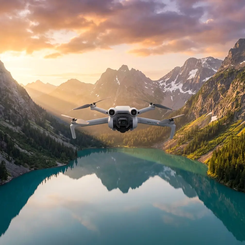
Air 3S for Coastlines: Mountain Photography Guide
META: Master coastal mountain photography with the Air 3S. Expert field report covering obstacle avoidance, D-Log settings, and pro techniques for stunning shoreline captures.
TL;DR
- Pre-flight sensor cleaning is critical when shooting coastal mountains where salt spray and dust compromise obstacle avoidance reliability
- The Air 3S's omnidirectional obstacle sensing handles unpredictable cliff thermals and sudden wind gusts common in mountain-coastal environments
- D-Log color profile captures 13.6 stops of dynamic range, essential for high-contrast scenes where dark cliffs meet bright ocean reflections
- ActiveTrack 360° maintains lock on moving subjects like boats or wildlife even when flying complex paths around rocky outcrops
Why Coastal Mountain Photography Demands More From Your Drone
Salt air destroys equipment. Thermal updrafts from sun-heated cliffs create invisible turbulence. Reflective water surfaces confuse sensors. After three years photographing the world's most dramatic coastlines—from Big Sur's jagged edges to Norway's fjord walls—I've learned that coastal mountain environments punish unprepared pilots.
The Air 3S has become my primary tool for these challenging shoots. But hardware alone doesn't guarantee results. This field report breaks down exactly how I prepare, configure, and fly to capture professional-grade coastal imagery consistently.
The Pre-Flight Ritual That Saves Your Shot
Before every coastal mountain session, I spend seven minutes on a cleaning protocol that most photographers skip. This isn't paranoia—it's insurance.
Sensor Cleaning Checklist
- Obstacle avoidance sensors: Wipe all six directional sensors with a microfiber cloth dampened with distilled water
- Camera lens: Use a lens pen, then compressed air to remove salt crystals invisible to the naked eye
- Gimbal motors: Check for grit accumulation around the three-axis pivot points
- Propeller attachment points: Salt corrosion here causes wobble that ruins stabilization
- Battery contacts: Clean with isopropyl alcohol to ensure consistent power delivery
Expert Insight: Salt spray creates a film on obstacle avoidance sensors within 15 minutes of coastal exposure. I've watched pilots lose drones to cliff strikes because their sensors couldn't detect rock faces through salt haze. Clean sensors before every flight, not just every session.
The Air 3S uses APAS 5.0 (Advanced Pilot Assistance System) with omnidirectional sensing. This system processes data from forward, backward, lateral, upward, and downward sensors simultaneously. When one sensor is compromised by salt residue, the entire avoidance network degrades.
Configuring the Air 3S for Coastal Conditions
Camera Settings for High-Contrast Environments
Coastal mountains present the most extreme dynamic range challenges in landscape photography. You're capturing deep shadow detail in cliff faces while preserving highlight information in ocean reflections and sky.
My standard coastal configuration:
| Setting | Value | Reasoning |
|---|---|---|
| Color Profile | D-Log M | Maximum dynamic range for post-processing flexibility |
| ISO | 100-200 | Lowest noise floor for clean shadow recovery |
| Shutter Speed | 1/500 minimum | Compensates for wind-induced micro-movements |
| Aperture | f/2.8 | Fixed on Air 3S; plan compositions accordingly |
| White Balance | 5600K manual | Prevents auto-WB shifts between cliff shadow and open water |
| Resolution | 4K/60fps or 48MP stills | Future-proofs footage for various delivery formats |
Why D-Log Changes Everything
The Air 3S's 1-inch CMOS sensor captures D-Log footage that looks flat and washed out on your phone screen. That's intentional. This profile preserves approximately 2.5 additional stops of highlight and shadow information compared to standard color profiles.
When I photograph a cliff face at golden hour, the shadowed rock might be 8 stops darker than the sunlit ocean. Standard profiles force a choice: expose for shadows and blow out water, or protect highlights and lose cliff detail. D-Log lets me recover both in post-production.
Flight Techniques for Mountain Coastlines
Reading Thermal Patterns
Dark cliff faces absorb solar radiation and create rising thermal columns. These invisible updrafts can push a 720-gram drone 15-20 meters off course in seconds. The Air 3S compensates automatically, but understanding thermals helps you plan safer, smoother shots.
Thermal indicators to watch:
- Birds circling without flapping indicate strong lift zones
- Waves breaking against sun-facing cliffs suggest thermal activity above
- Morning flights before 10 AM minimize thermal interference
- Overcast days eliminate thermal concerns entirely
Using ActiveTrack in Complex Terrain
Subject tracking along coastlines requires the Air 3S's most sophisticated flight mode. ActiveTrack uses machine learning to maintain focus on moving subjects while the obstacle avoidance system simultaneously navigates around fixed hazards.
I use this for:
- Following kayakers through sea caves
- Tracking wildlife along cliff edges
- Orbiting boats anchored near rocky outcrops
Pro Tip: Set ActiveTrack to Parallel mode rather than Trace when subjects move near cliffs. Parallel keeps the drone at a consistent lateral distance, preventing the aircraft from cutting corners and flying dangerously close to rock faces.
QuickShots and Hyperlapse for Efficient Storytelling
QuickShots Worth Using
Not all automated flight modes suit coastal environments. After extensive testing, these three deliver consistently:
Dronie: Flies backward and upward simultaneously, revealing the coastline's scale. Works best when starting close to a subject on a beach or cliff edge.
Circle: Orbits a fixed point while maintaining camera focus. Exceptional for isolated sea stacks or lighthouse positions. Set radius to minimum 30 meters to avoid obstacle conflicts.
Helix: Combines orbit with altitude gain. Creates dramatic reveals of mountain-meets-ocean vistas. Requires 100+ meters of clear vertical space.
Hyperlapse Considerations
Coastal Hyperlapse footage captures wave patterns, tidal changes, and cloud movement over cliffs. The Air 3S processes these in-camera, but environmental factors affect quality significantly.
Optimal Hyperlapse conditions:
- Wind below 15 km/h for stable positioning
- Subjects with clear movement (waves, clouds, boats)
- Duration of minimum 30 minutes for visible change
- Battery swaps planned every 25 minutes of recording
Common Mistakes to Avoid
Flying immediately after arriving at location: Coastal microclimates differ dramatically from conditions even 500 meters inland. Spend 10 minutes observing wind patterns, bird behavior, and wave intensity before launching.
Ignoring salt accumulation during extended sessions: After 45 minutes of coastal flying, land and repeat your sensor cleaning protocol. Salt buildup is cumulative and invisible until it causes problems.
Trusting obstacle avoidance near wet rock faces: Dark, wet surfaces absorb sensor signals rather than reflecting them. The Air 3S may not detect slick cliff faces until dangerously close. Maintain manual awareness regardless of APAS status.
Shooting only at golden hour: Midday light creates the clearest water visibility for capturing underwater features, reef structures, and marine life. Overcast conditions eliminate harsh shadows on cliff faces. Expand your shooting windows.
Neglecting ND filters: The Air 3S's fixed f/2.8 aperture requires neutral density filtration for proper motion blur in video. Pack ND8, ND16, and ND32 filters for varying light conditions.
Technical Comparison: Air 3S vs. Coastal Challenges
| Challenge | Air 3S Capability | Effectiveness Rating |
|---|---|---|
| High winds (25-35 km/h) | Level 5 wind resistance | Excellent |
| Salt spray exposure | Sealed motor design | Good (requires cleaning) |
| Extreme dynamic range | 13.6 stops with D-Log | Excellent |
| Obstacle-dense environments | APAS 5.0 omnidirectional | Excellent |
| Extended flight sessions | 46-minute max flight time | Excellent |
| Low-light cliff shadows | f/2.8, 1-inch sensor | Very Good |
| Subject tracking near hazards | ActiveTrack with avoidance | Very Good |
Frequently Asked Questions
How does salt air affect the Air 3S's obstacle avoidance reliability?
Salt creates a translucent film on sensor surfaces that degrades detection accuracy progressively. Clean sensors maintain 99%+ detection reliability at manufacturer-specified distances. Contaminated sensors may miss obstacles at distances under 5 meters, particularly dark or wet surfaces. Establish a cleaning routine before every flight in coastal environments.
What's the best time of day for coastal mountain drone photography?
The two hours after sunrise offer the ideal combination of warm directional light, minimal thermal activity, and calm winds. However, don't dismiss midday for water clarity shots or overcast days for even cliff lighting. Each condition serves different creative purposes. Plan your shot list around conditions rather than forcing one lighting scenario.
Can the Air 3S handle the wind conditions typical of exposed coastlines?
The Air 3S maintains stable flight in sustained winds up to 12 m/s (43 km/h) with gusts to 15 m/s. Most coastal locations experience winds within this range except during storm systems. Monitor real-time wind data through the DJI Fly app and establish personal limits below manufacturer maximums for safety margin. I typically ground the aircraft when sustained winds exceed 35 km/h.
Final Thoughts From the Field
Coastal mountain photography rewards preparation disproportionately. The Air 3S provides exceptional capability—obstacle avoidance that handles cliff thermals, dynamic range that captures impossible contrast, and tracking that follows subjects through complex terrain. But technology amplifies skill rather than replacing it.
Master your pre-flight protocols. Learn to read coastal weather patterns. Understand when to trust automation and when to fly manually. The coastlines will still be there tomorrow; your equipment should be too.
Ready for your own Air 3S? Contact our team for expert consultation.